
Back to news
Field Report 2026
LiDAR Field Mapping Demo Completed
The complete high-density point-cloud and RTK alignment workflow was documented.
- Field Report
- 2026-02-28
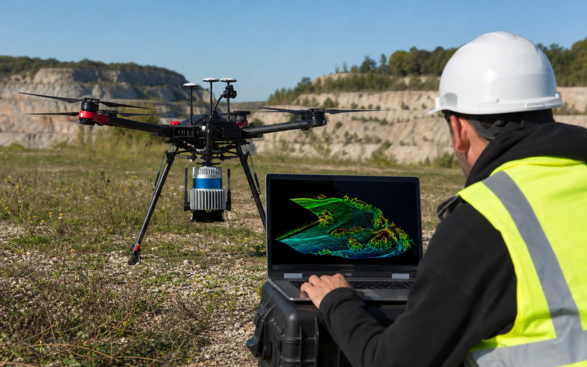
The engineering team completed a DX-X4 + mapping LiDAR field demonstration, covering about 1.2 km2 in a single mission, with point-cloud density meeting terrain modeling and cross-section extraction needs.
The demo also validated quick payload swap workflow and point-cloud preview from the ground station, with an initial DSM output delivered within four hours after mission completion.
Related footage and parameter summaries are now available in the Media Center, and a technical brief can be downloaded from the Resource Center.