precision agriculture
Subcentimeter-level GSD mapping at a height of 120 m, compatible with multispectral payloads, and generating NDVI and prescription maps in a single flight.

Compact · Quadcopter
A new generation platform is under development - make an appointment for consultation
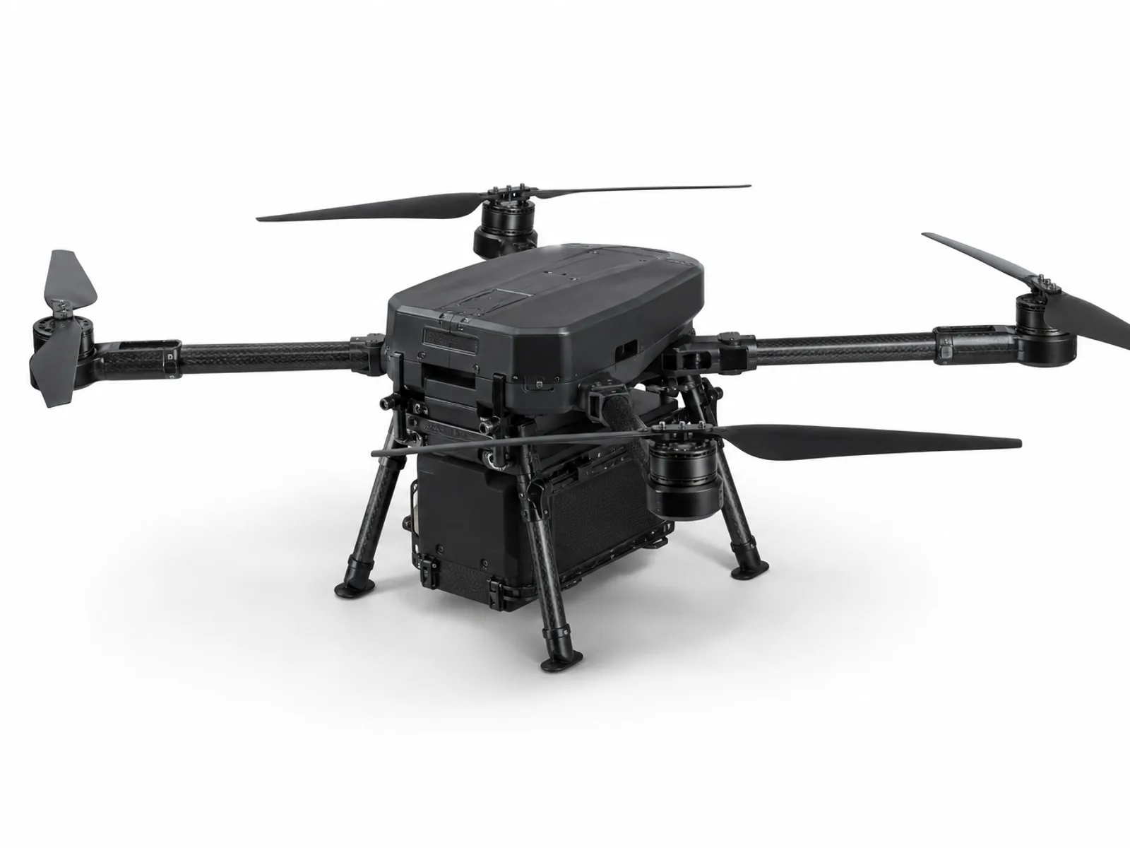
Compact body · Strong load capacity
Self-developed folding frame, standard transport box size, 4 kg load capacity, nearly 50 minutes of battery life, and rapid deployment by one person.
4 KG
Maximum load
50 MIN
Battery life
16 AH
Smart battery capacity
Shenzhen independent manufacturing
Platform overview
The DX-X4 combines dual sets of smart 12S batteries with an IP54-rated folding frame, enabling a 4kg real-world payload and up to 50 minutes of flight time in a size that fits into a standard shipping case.
The platform is independently designed, manufactured and tested in Shenzhen, and is designed for surveying, mapping, inspection, search and rescue and other mission scenarios that are equally demanding on deployment speed and reliability.
View full parametersCore advantages
01 — Architecture
The self-developed injection molded frame is made of aviation-grade engineering plastics, which has a better strength-to-weight ratio among products of the same level. It still retains sufficient structural margin under the rated load of 4 kg, and IP54 protection can cope with rain, snow, dust and on-site impact.
02 — load
The shock-absorbing quick-release hitch allows load changes to be completed in 45 seconds. The 4 kg load capacity is compatible with surveying LiDAR, multispectral, thermal imaging and customized cargo compartments, and the auxiliary power supply and data interface cover mainstream integration needs.
03 — power
Two sets of 12S smart batteries are connected in parallel, with a single set of 8 Ah and a total of 16 Ah. It can last up to 50 minutes without load and can still last for more than 24 minutes with a full load of 4 kg. Supports hot swapping, single group replacement takes less than 30 seconds.
Body specifications
Expand (tip to tip)
1510 mm
unfolded height
470 mm
Folded (length × width × height)
414 × 380 × 238 mm
Empty weight
8.15 kg
maximum takeoff weight
12.15 kg
Protection level
IP54 (expected)
working temperature
-20°C ~ 49°C
Practical ceiling
3658 m
Drag the slider to view estimated endurance at different payload weights
Estimated battery life
50 min
Complete technical parameters
Applicable scenarios
Subcentimeter-level GSD mapping at a height of 120 m, compatible with multispectral payloads, and generating NDVI and prescription maps in a single flight.
RTK-level aerial survey, suitable for construction, mining and land management, covering large areas at a time.
The long endurance supports large-area search and rescue, is compatible with thermal imaging payloads, and can operate in a -20°C environment.
Rapid deployment, 15 km link distance, can be equipped with communication relay, lighting or material delivery modules.
product matrix
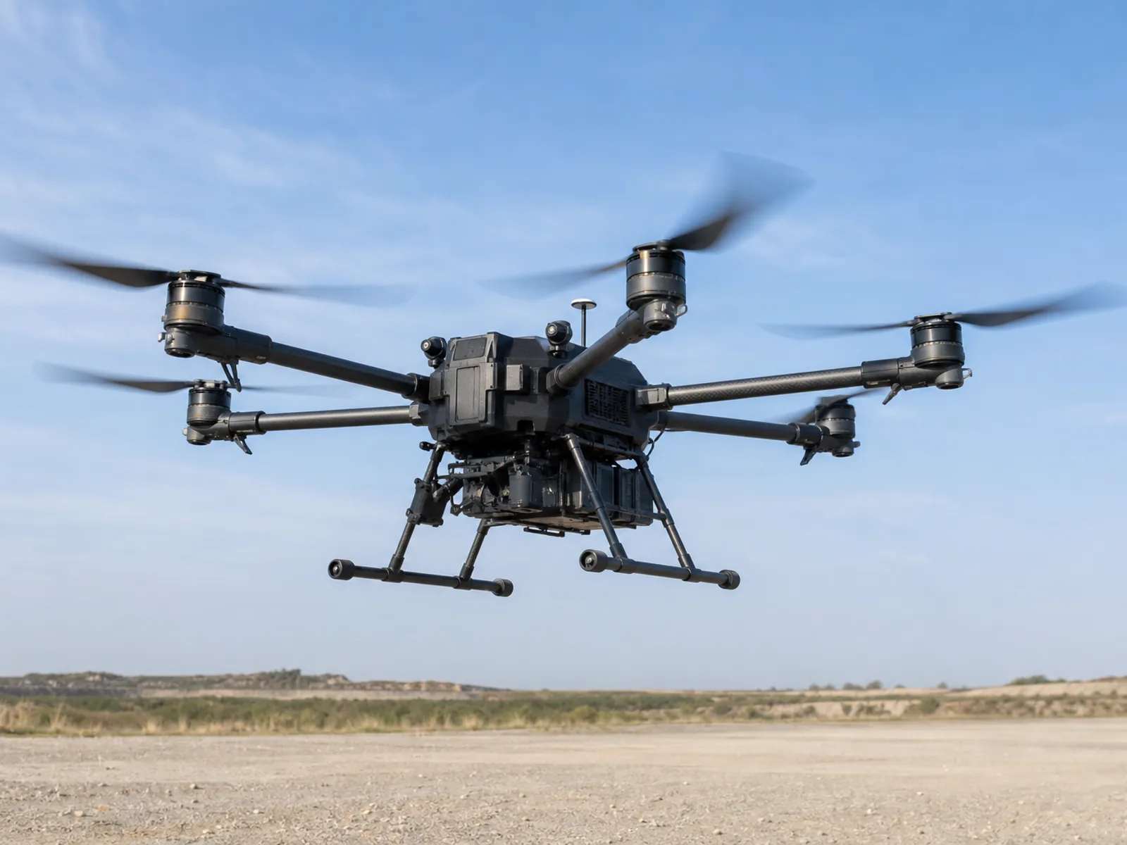
It has three power modules: pure electric, hybrid oil and hydrogen, and hydrogen fuel cell, which can be switched within 15 minutes, achieving both long endurance and mission flexibility.
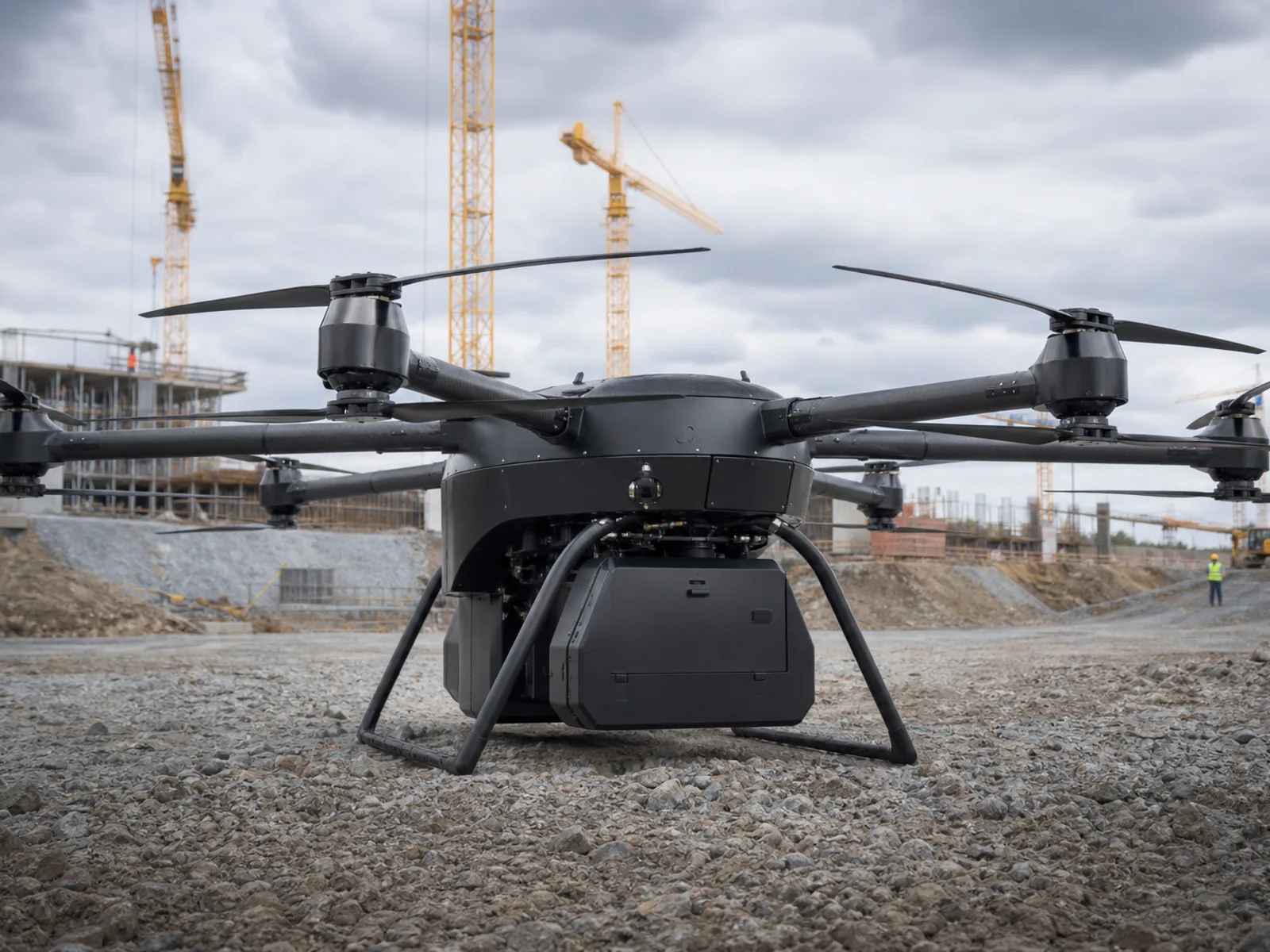
With a wingspan of 3.2 meters and 300+ pounds of available thrust, it is designed for extremely large payloads and the most demanding professional equipment.
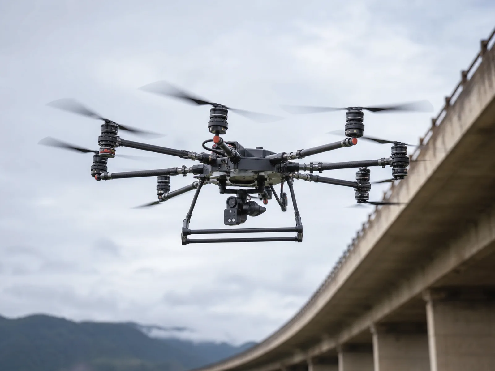
Coaxial motor redundancy, foldable frame, stable hovering and professional payload integration meet industrial, scientific research and special high-risk deployments.
Leave a request and our engineering team will communicate with you about custom configuration, bulk purchasing and payload integration support.