DX-X4 quadcopter
4 KG · Maximum load
了解 DX-X4
Mapping Perception · LiDAR
Integrate a full range of lightweight to heavy-duty LiDAR, RTK time synchronization, and output standardized point clouds and accuracy reports.
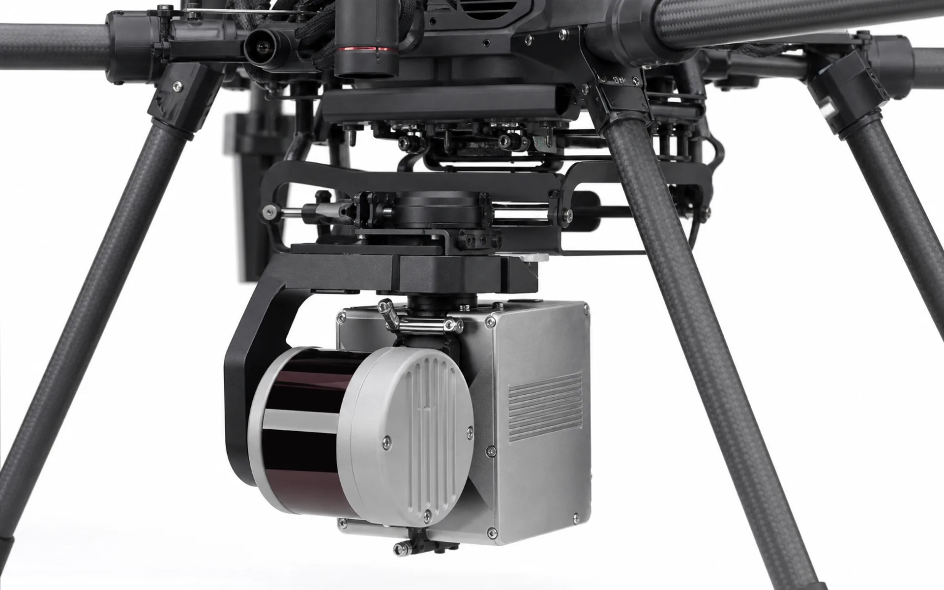
It supports mini-level to industry-level LiDAR mounts, and you can choose between DX-X4, DX-H6 and DX-H6HL according to accuracy and measurement area requirements.
The shock-absorbing quick-release structure ensures the stability of the point cloud, and the data link is directly transmitted to the ground station via Ethernet, supporting real-time preview and post-processing.
Technical parameters
Compatible platforms
4 KG · Maximum load
了解 DX-X48 KG · Maximum load
了解 DX-H640 KG · Maximum load
了解 DX-H6HLApplicable solutions
Provide accuracy indicators, measurement area environment and target load model, and the engineering team will output an integrated evaluation.