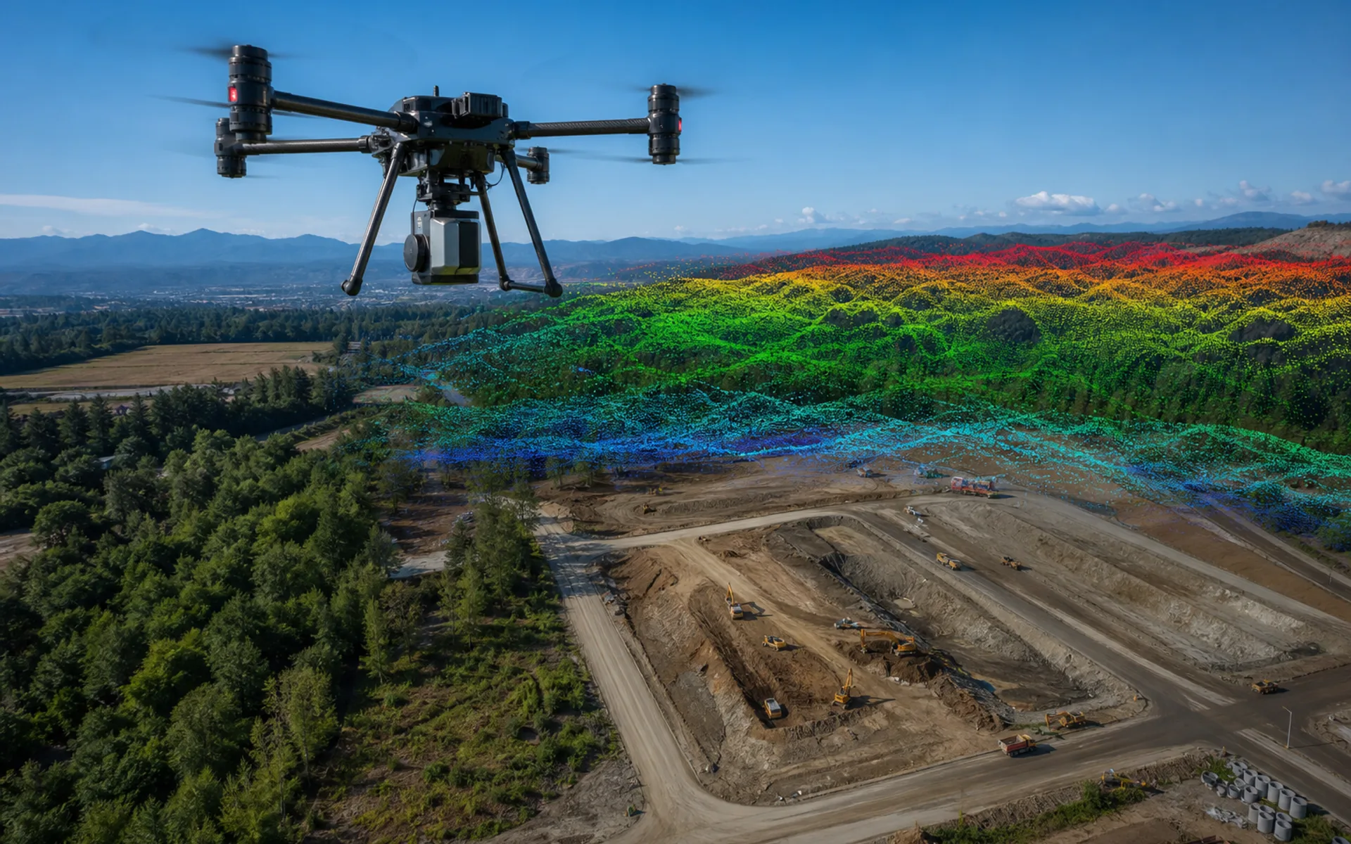
DX-X4 quadcopter
Self-developed folding frame, standard transport box size, 4 kg load capacity, nearly 50 minutes of battery life, and rapid deployment by one person.
- 4 KG · Maximum load
- 50 MIN · Battery life
- 16 AH · Smart battery capacity

Surveying and mapping · Modeling
RTK-level accuracy, multi-load quick release and long-endurance coverage support full-process operations from centimeter-level GSD to high-density point clouds.
Surveying and mapping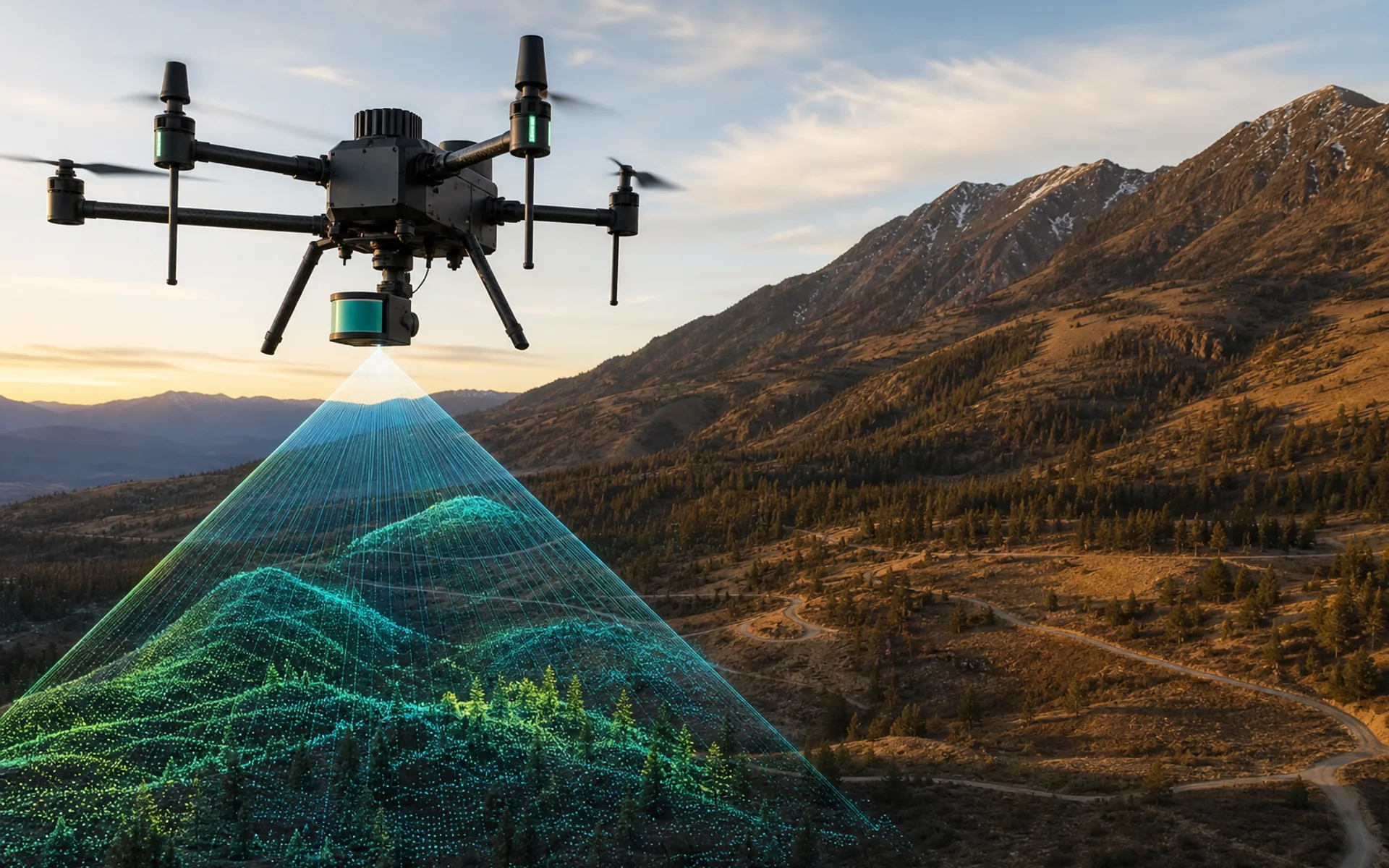
cm level
GSD accuracy
Multiple loads
Quick release integration
RTK
Positioning ability
Industry pain points
Surveying and mapping projects often require large-area coverage within limited weather windows while meeting centimeter-level or sub-centimeter-level accuracy requirements.
Traditional manned drones are costly and slow to dispatch; light drones have insufficient load capacity and are difficult to carry high-end LiDAR or multi-sensor combinations.
Solution ideas
Based on the measurement area and accuracy indicators, choose between DX-X4 (single-person rapid deployment) and DX-H6HL (extra large LiDAR payload).
The universal quick-release interface supports RGB, multispectral, LiDAR and other payload switching within 45 seconds, and outputs standardized point cloud and orthophoto results after the mission is completed.
Recommended platform
Self-developed folding frame, standard transport box size, 4 kg load capacity, nearly 50 minutes of battery life, and rapid deployment by one person.
It has three power modules: pure electric, hybrid oil and hydrogen, and hydrogen fuel cell, which can be switched within 15 minutes, achieving both long endurance and mission flexibility.
With a wingspan of 3.2 meters and 300+ pounds of available thrust, it is designed for extremely large payloads and the most demanding professional equipment.
Typical load
High-density point cloud collection, suitable for modeling terrain, power corridors and complex structures.
Agricultural and ecological monitoring, synchronized RGB and multi-band images.
Orthomosaics and construction progress records, RTK-level georeferencing.
Work process
01
Clarify the scope of the survey area, accuracy indicators, results format and delivery cycle.
02
Match the load, endurance and deployment conditions to determine the load combination.
03
Route planning, RTK website building, autonomous flight and quality inspection.
04
Point cloud, DOM, 3D model and accuracy report archiving.
Tell us the size of the survey area and accuracy requirements, and the engineering team will output platform and load recommendations.