
Environmental protection · Coastal monitoring
Coastal environment monitoring
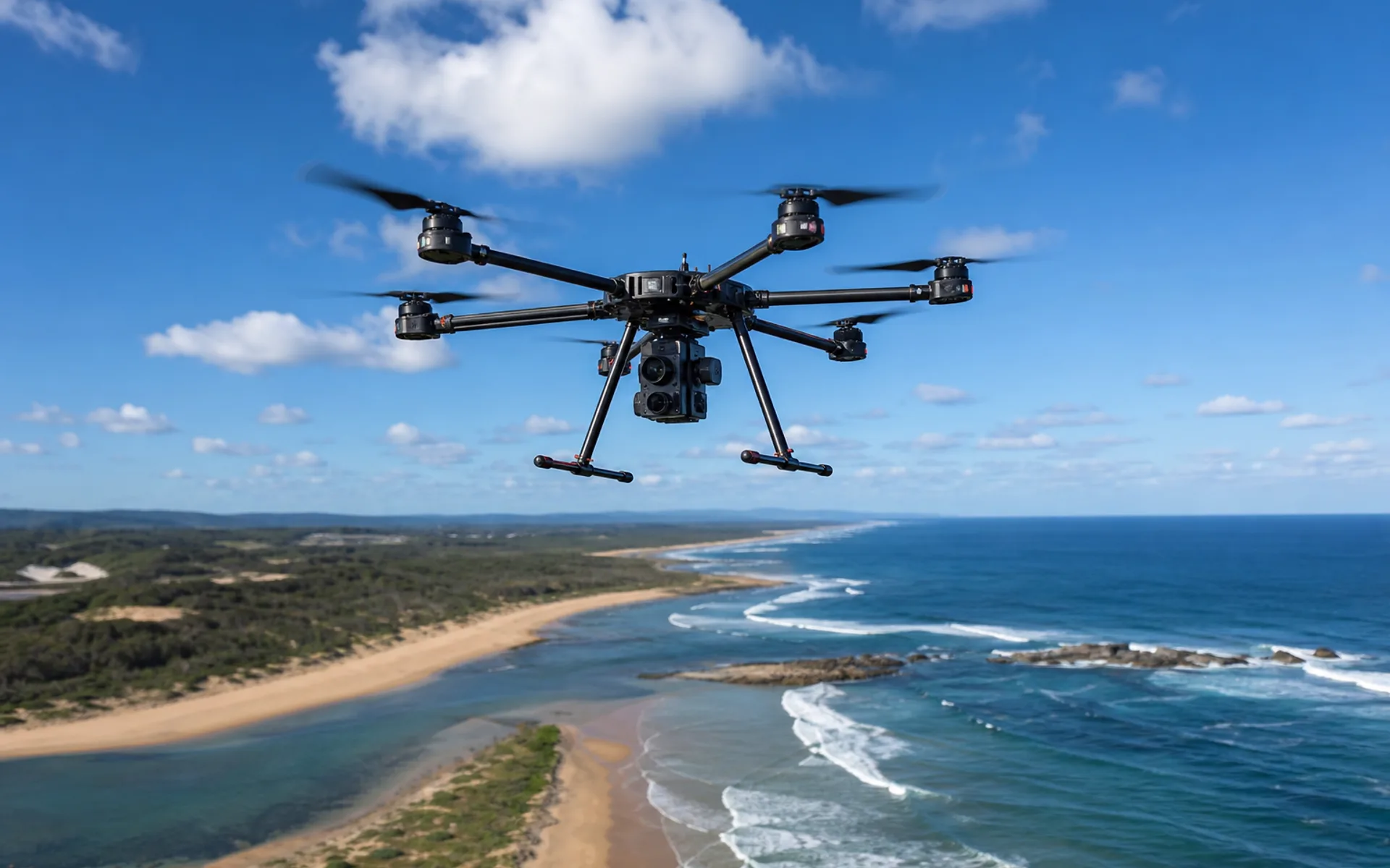
Conduct regular aerial monitoring of estuaries, mangroves and offshore breeding areas to support ecological assessment and law enforcement evidence collection.
- South China · Estuary
- 2026
- Environmental friendly
-
25 KM
shoreline coverage
-
monthly
Monitoring frequency
-
98%
Pattern recognition rate
mission challenge
The coastline is long and manpower inspection is difficult
The monitoring scope covers 25 kilometers of coastline and 500 meters of offshore waters. Traditional manual boat inspections are costly and low in frequency.
Environmental protection departments need monthly image comparisons to identify shoreline encroachment, aquaculture expansion and abnormal areas in water bodies.
solution
DX-X4 + multispectral payload
DX-X4 is equipped with multispectral and visible light cameras, plans routes according to tidal windows, and simultaneously collects 5-band and RGB images.
Thematic maps of NDVI and water body index are generated internally, superimposed and compared with historical images, and changed map spots are marked for on-site verification.
Task parameters
Coastal environment monitoring · 任务参数
- Use the platform
- DX-X4 quadcopter
- Load configuration
- Multispectral + RGB
- flight altitude
- 80–100 m AGL
- GSD
- about 3 cm
- Monitoring cycle
- 1 time per month
- delivery format
- Thematic map + change report
More cases
Explore other application scenarios
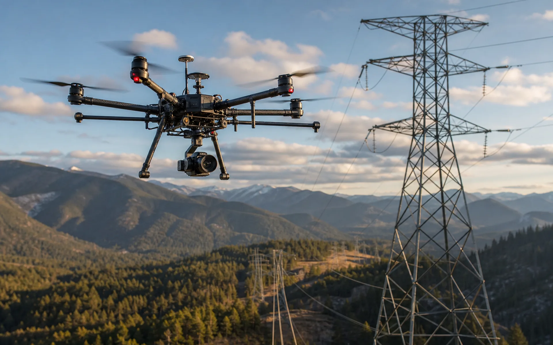
Power line inspection
Autonomous inspection of 120 kV transmission corridors in mountainous areas, equipped with visible light and infrared dual loads, covering 18 kilometers of line at a time.
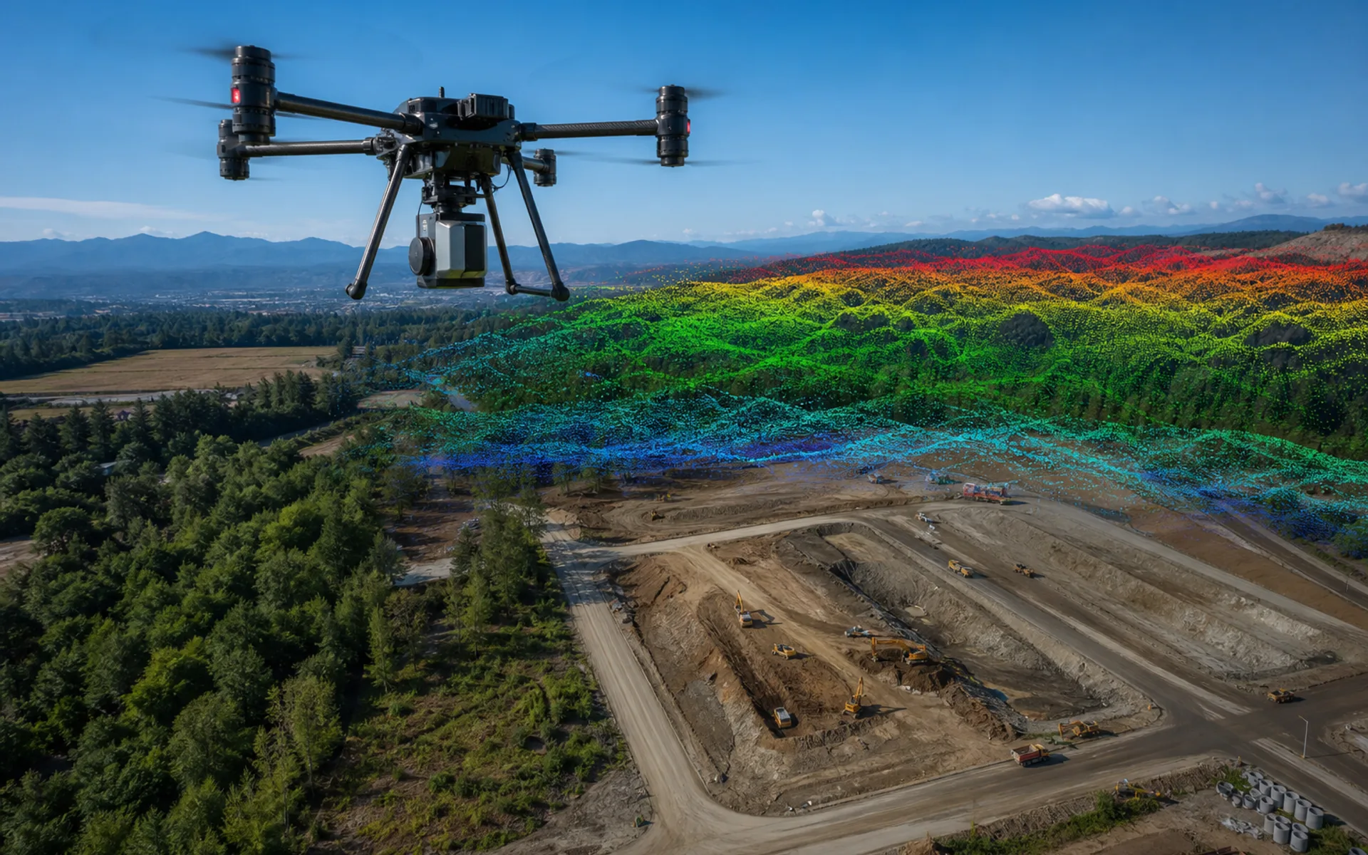
Large area surveying and mapping modeling
Aerial surveying and mapping of 800 hectares of construction mining area, five-lens tilt camera + ground control points, output 5 cm level orthophoto and DSM.
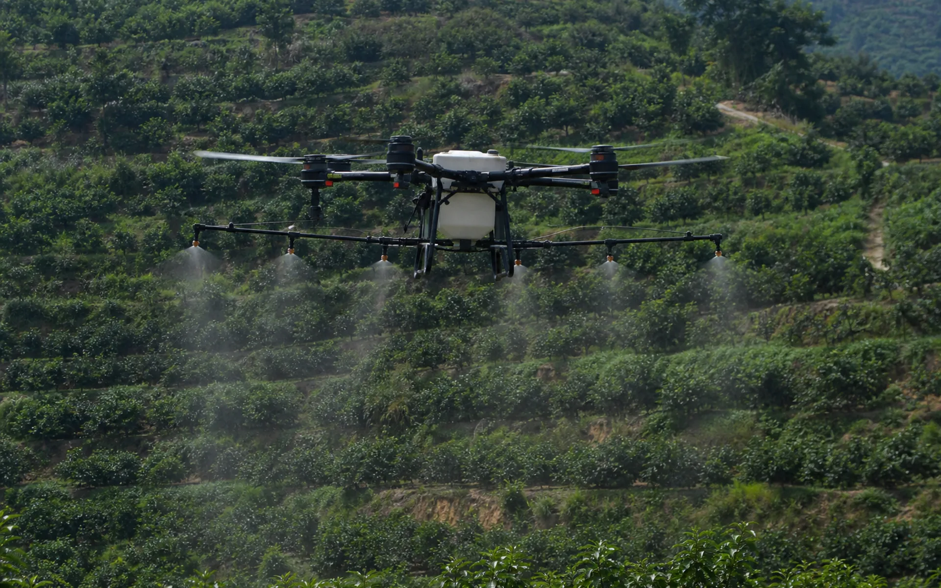
Agricultural plant protection operations
1,200 acres in the main rice-producing area are under unified control and spraying is carried out on independent routes. The utilization rate of pesticides is increased and labor costs are reduced.
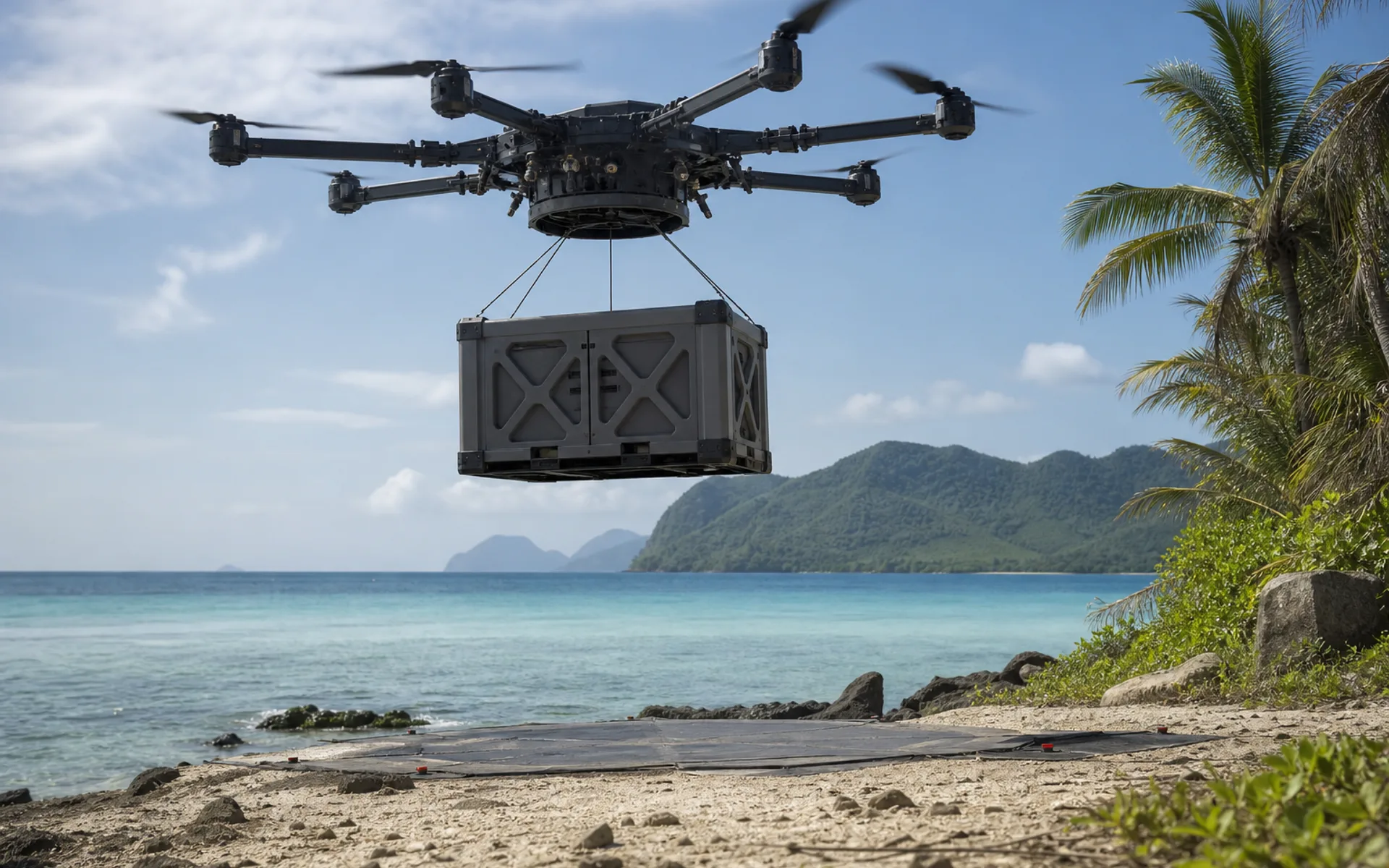
emergency supplies transportation
After the disaster, roads were interrupted, and heavy-duty drones delivered 15 kg of daily necessities and medical supplies to isolated island villages.
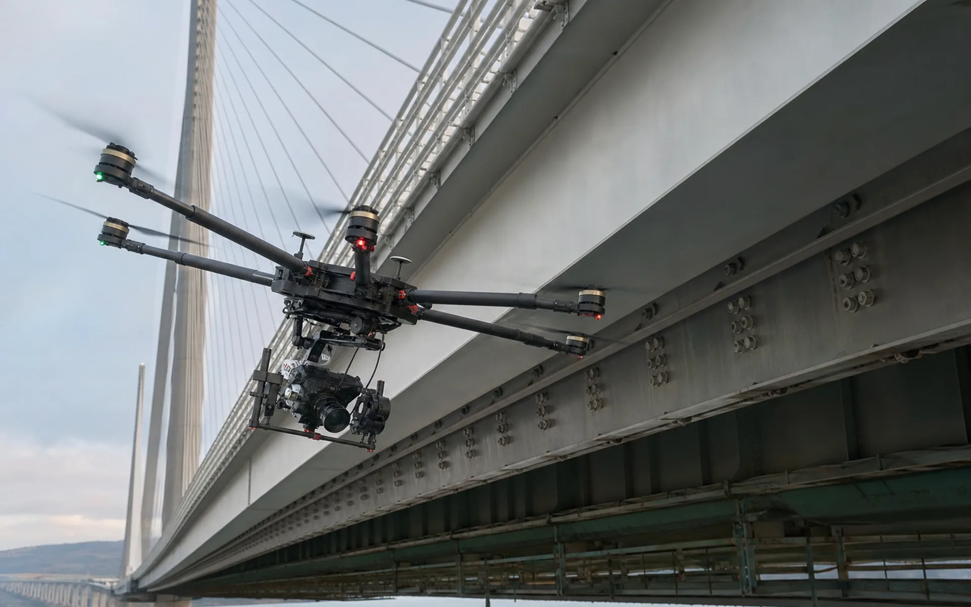
Infrastructure testing
Appearance inspection of the bottom surface and cable towers of cross-river bridges, close-range hover photography, and AI-assisted crack identification and archiving.
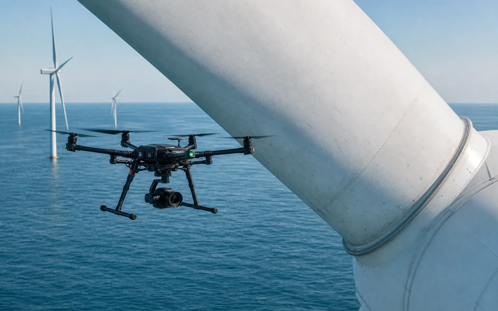
Wind turbine blade inspection
Inspection of offshore wind farm blade appearance and lightning damage, close-range hovering photography, covering 24 units at a time.
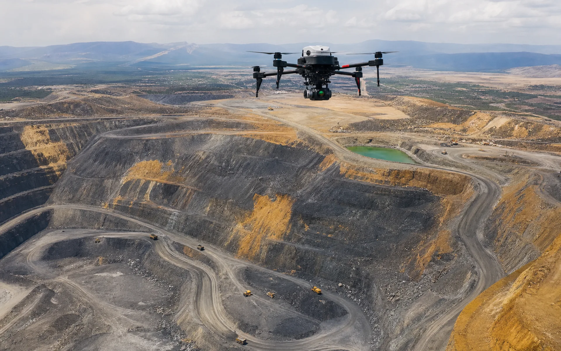
Mine reserves surveying and mapping
Periodic volume measurement of open-pit mines and LiDAR point cloud comparative analysis support reserve audits and mining plans.
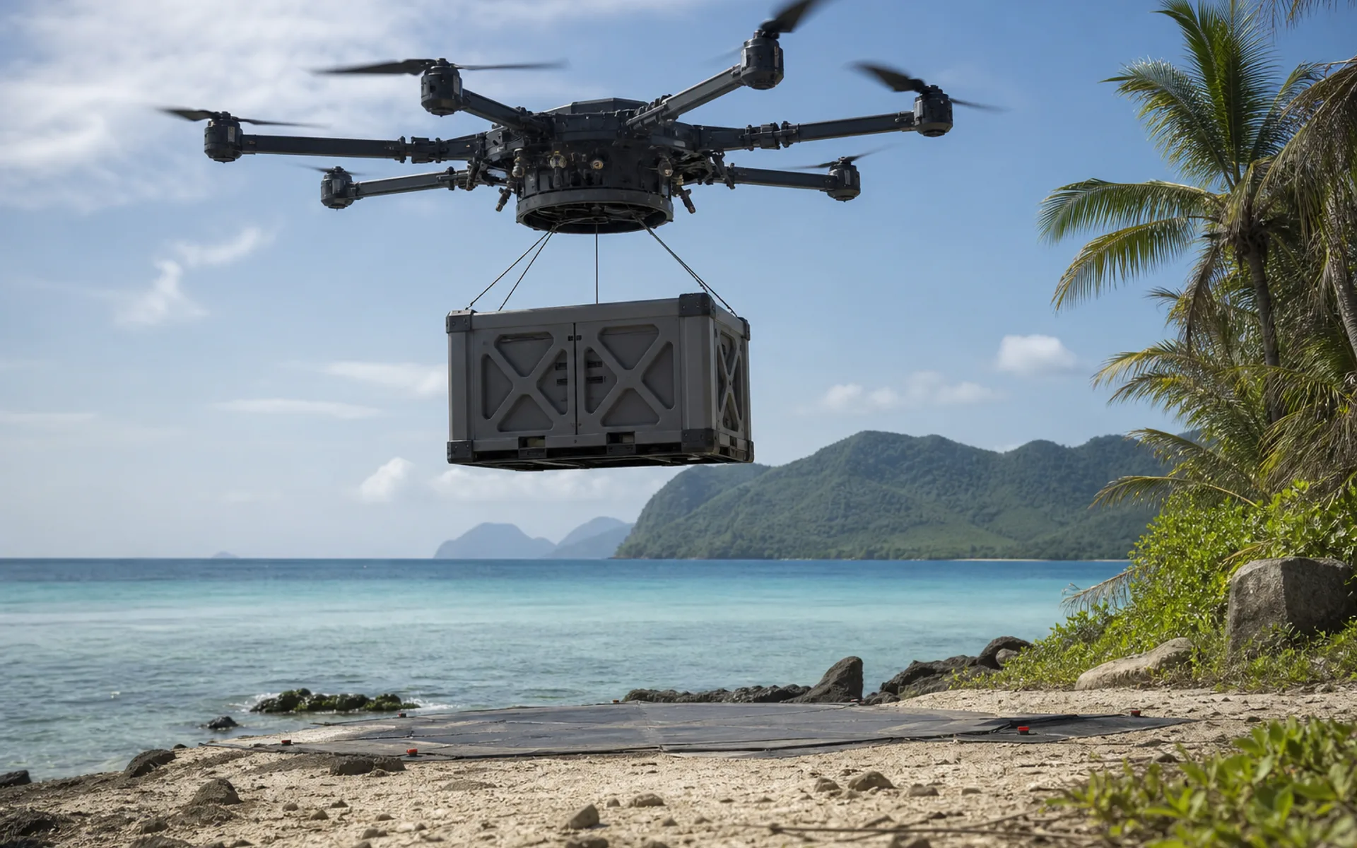
Island supplies
Aerial supply of medical and spare parts to offshore islands and modular cargo cabin transportation to avoid shipping cycle restrictions.
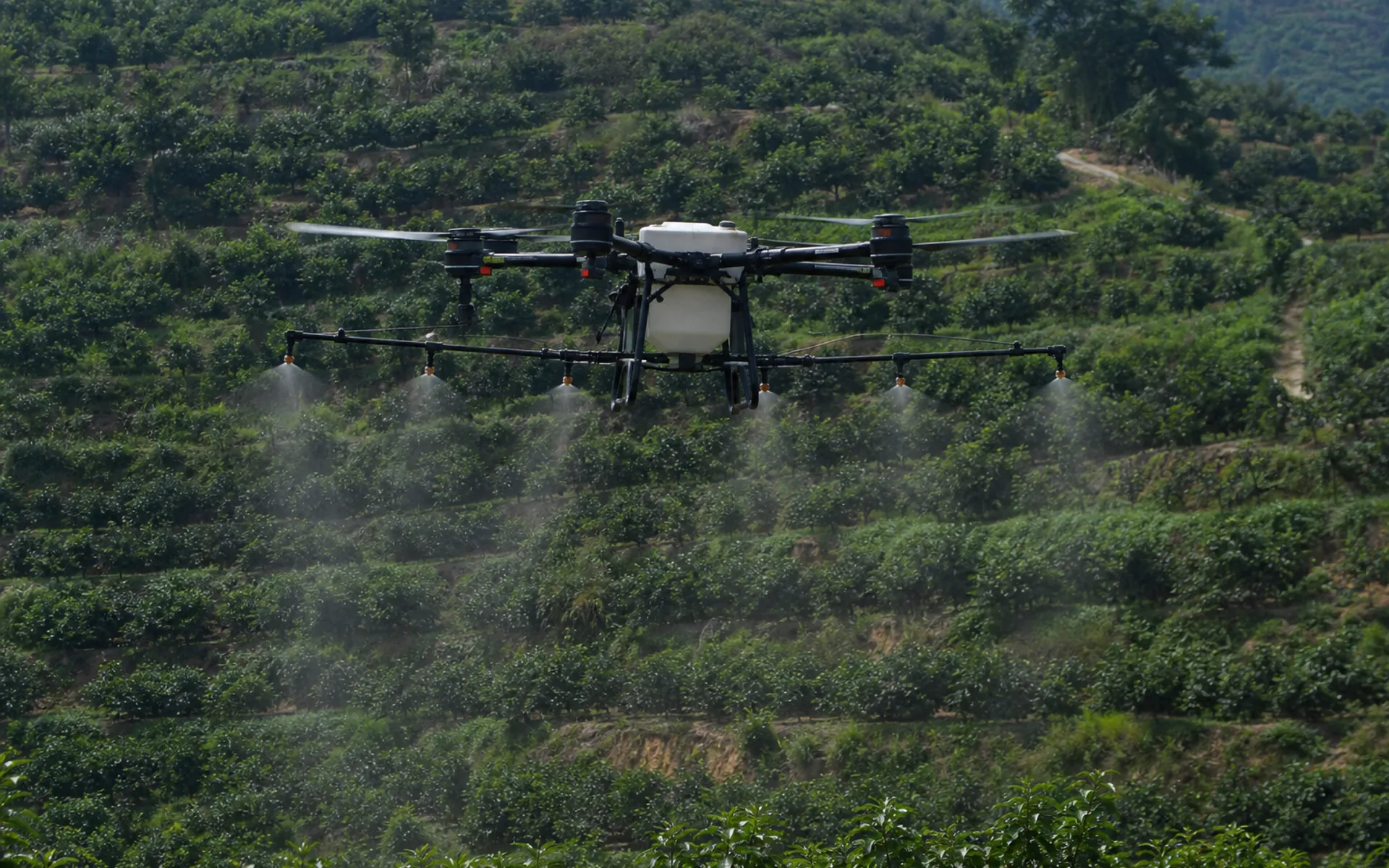
Precision work in hilly orchards
Multi-spectral field patrol and variable spraying in hilly orchards, RTK repeated routes, significantly improved the utilization rate of chemical liquid.
Design environmental monitoring plan
Explain the monitoring indicators, cycle and accuracy requirements, and we will recommend sensors and flight plans.
Discuss similar tasks