
Logistics · Emergency transportation
emergency supplies transportation
In scenarios where roads are damaged and ships are unable to reach, airborne material delivery channels can be quickly established.
- Southwest · Flash Flood Disaster Area
- 2026
- logistics
-
15 KG
Single delivery load
-
12
Number of flights per day (occupying seats)
-
200 households
Number of insured households
mission challenge
Traffic disruptions and material shortages
Continuous heavy rains caused the road into the mountain village to collapse. About 200 households in three natural villages were in need of supplies and the conditions for helicopters to take off and land were insufficient.
A sustainable aerial supply link needs to be established within 48 hours, with a single delivery volume of not less than 15 kg.
solution
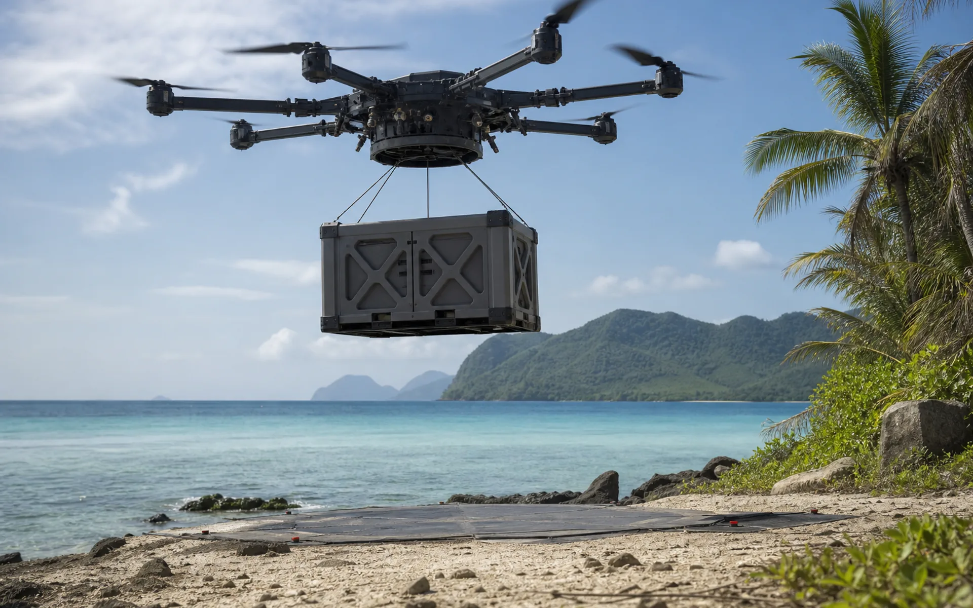
DX-H6HL heavy duty delivery
DX-H6HL is equipped with a customized cargo hold, plans a route along the wind direction of the valley, completes loading and unloading at temporary take-off and landing points, and performs 12 sorties in a single day.
Cooperate with the ground volunteer team to establish a sending and receiving process, and record the entire GPS track to ensure that the materials can be delivered traceably.
Task parameters
emergency supplies transportation · 任务参数
- Use the platform
- DX-H6HL extra large load capacity
- Load configuration
- Custom cargo bay
- One way distance
- about 8 km
- Take-off and landing mode
- Vertical takeoff and landing at temporary site
- Cumulative delivery
- 1.8 tons (space occupied)
- task cycle
- 5 days
More cases
Explore other application scenarios
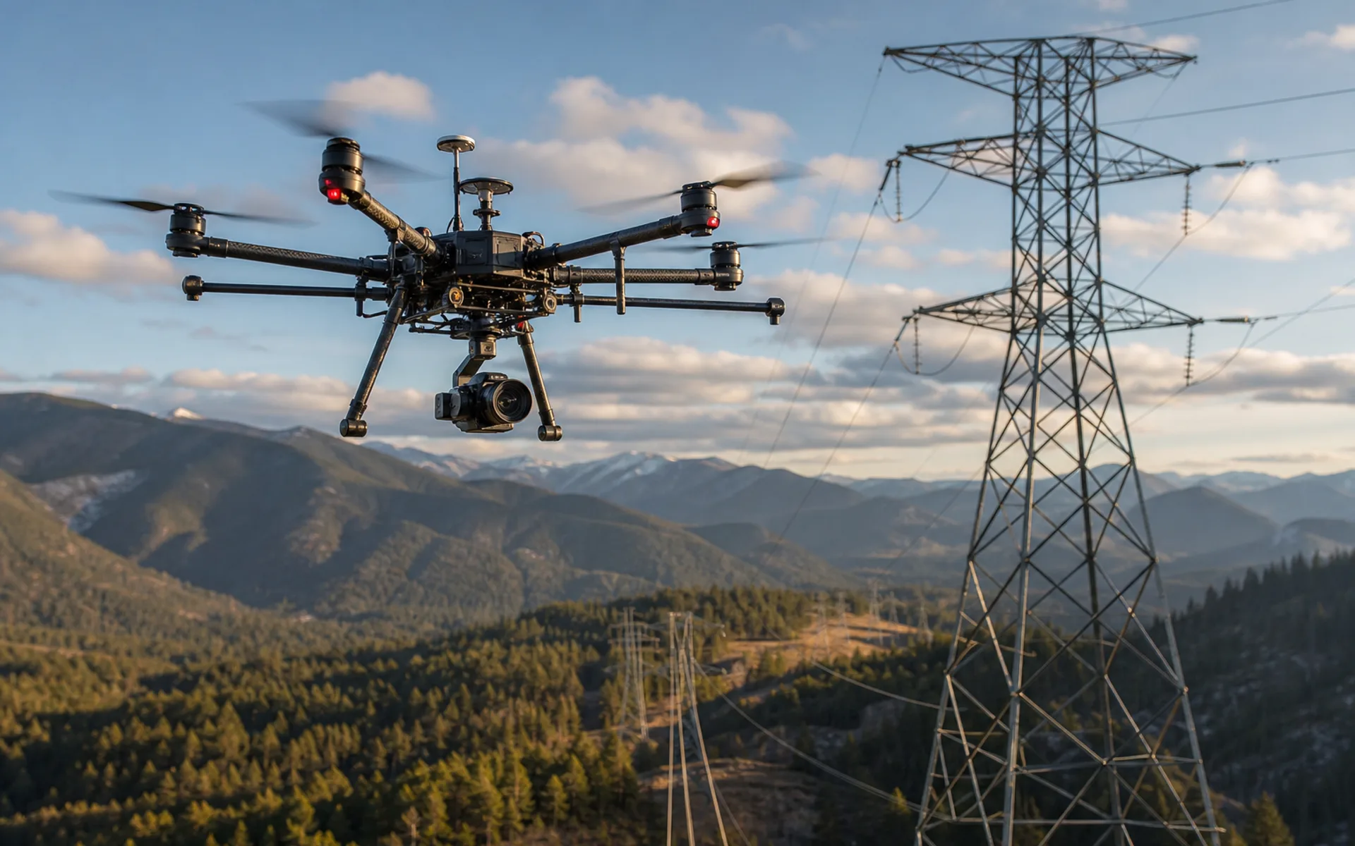
Power line inspection
Autonomous inspection of 120 kV transmission corridors in mountainous areas, equipped with visible light and infrared dual loads, covering 18 kilometers of line at a time.
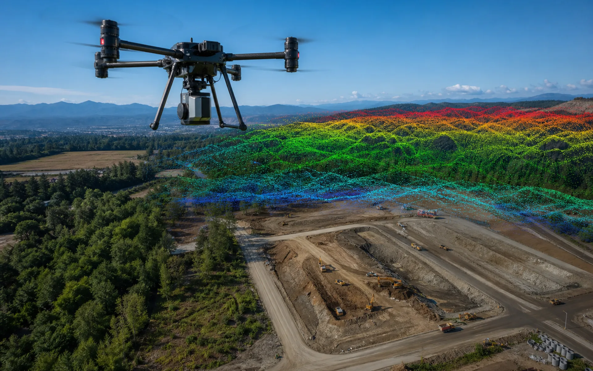
Large area surveying and mapping modeling
Aerial surveying and mapping of 800 hectares of construction mining area, five-lens tilt camera + ground control points, output 5 cm level orthophoto and DSM.
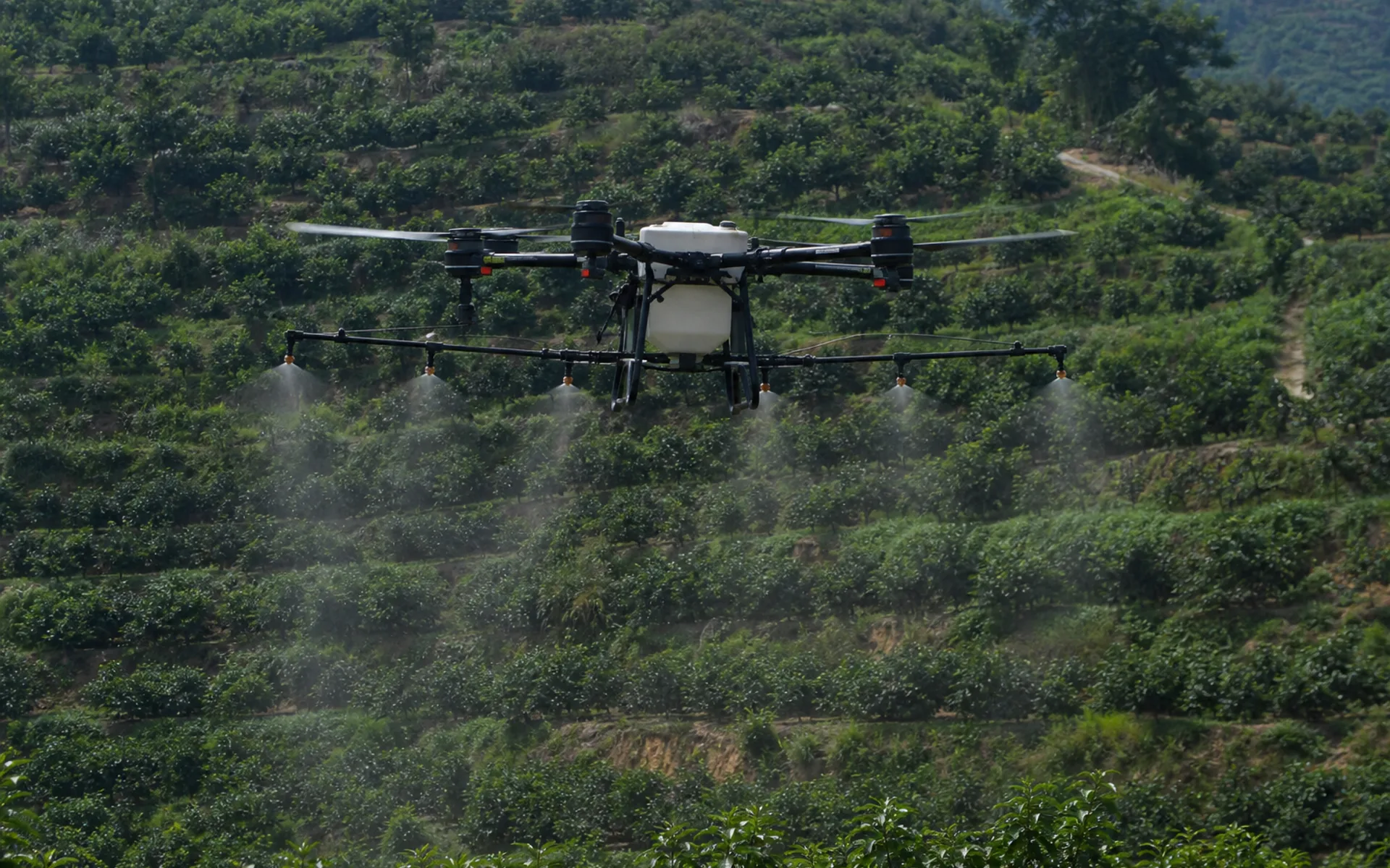
Agricultural plant protection operations
1,200 acres in the main rice-producing area are under unified control and spraying is carried out on independent routes. The utilization rate of pesticides is increased and labor costs are reduced.
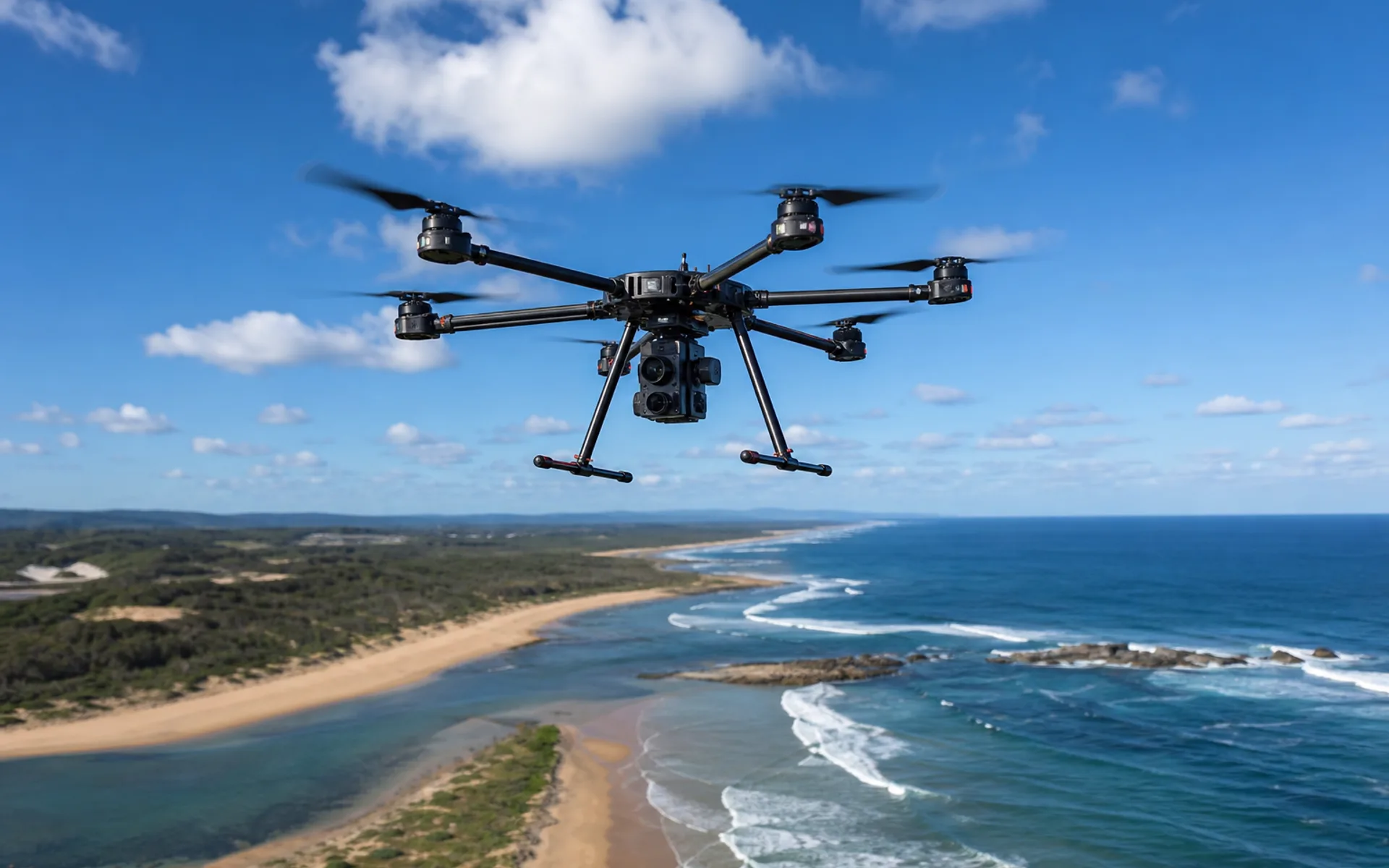
Coastal environment monitoring
Monitoring of estuary water and shoreline changes, multispectral + visible light joint collection, generating thematic maps of water quality and vegetation index.
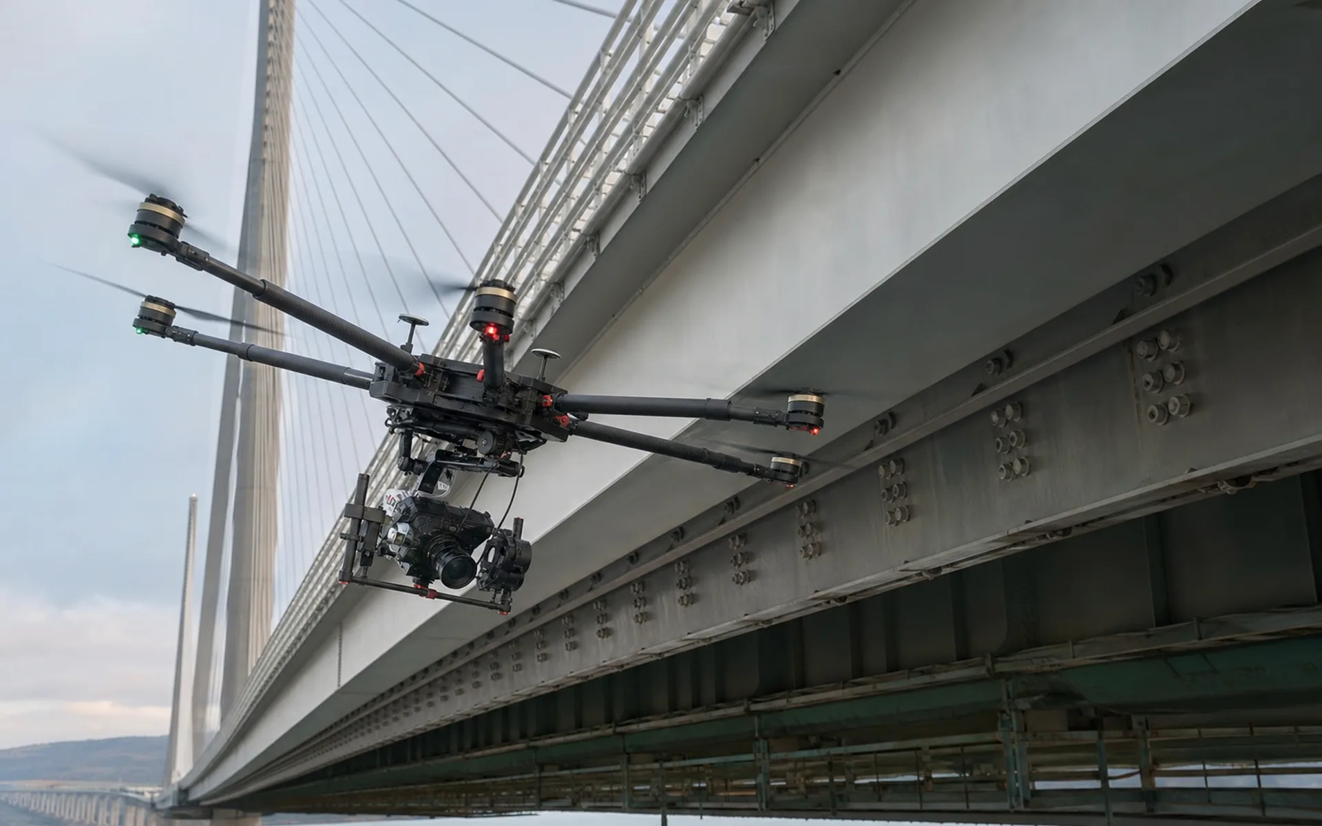
Infrastructure testing
Appearance inspection of the bottom surface and cable towers of cross-river bridges, close-range hover photography, and AI-assisted crack identification and archiving.
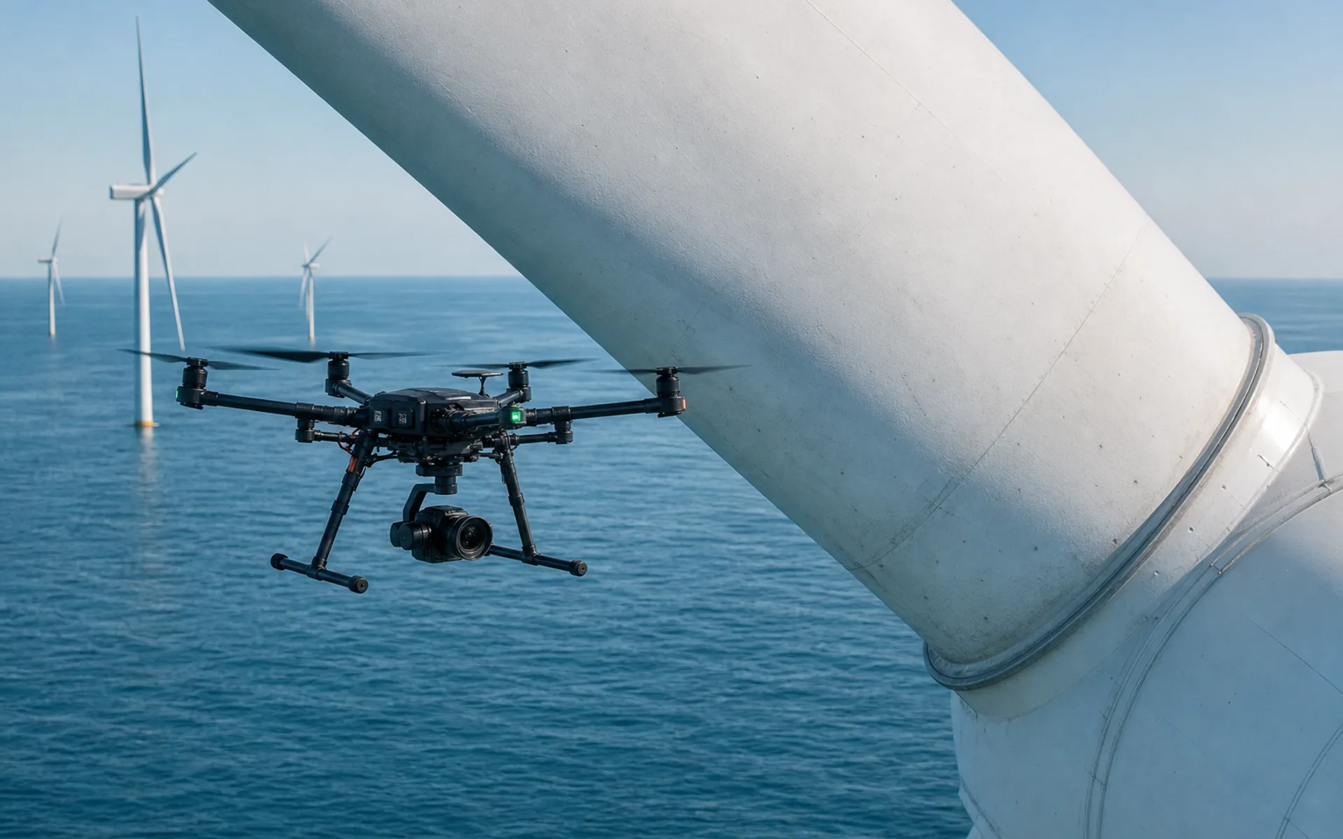
Wind turbine blade inspection
Inspection of offshore wind farm blade appearance and lightning damage, close-range hovering photography, covering 24 units at a time.
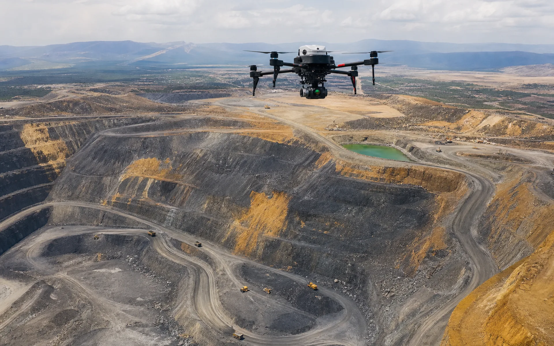
Mine reserves surveying and mapping
Periodic volume measurement of open-pit mines and LiDAR point cloud comparative analysis support reserve audits and mining plans.
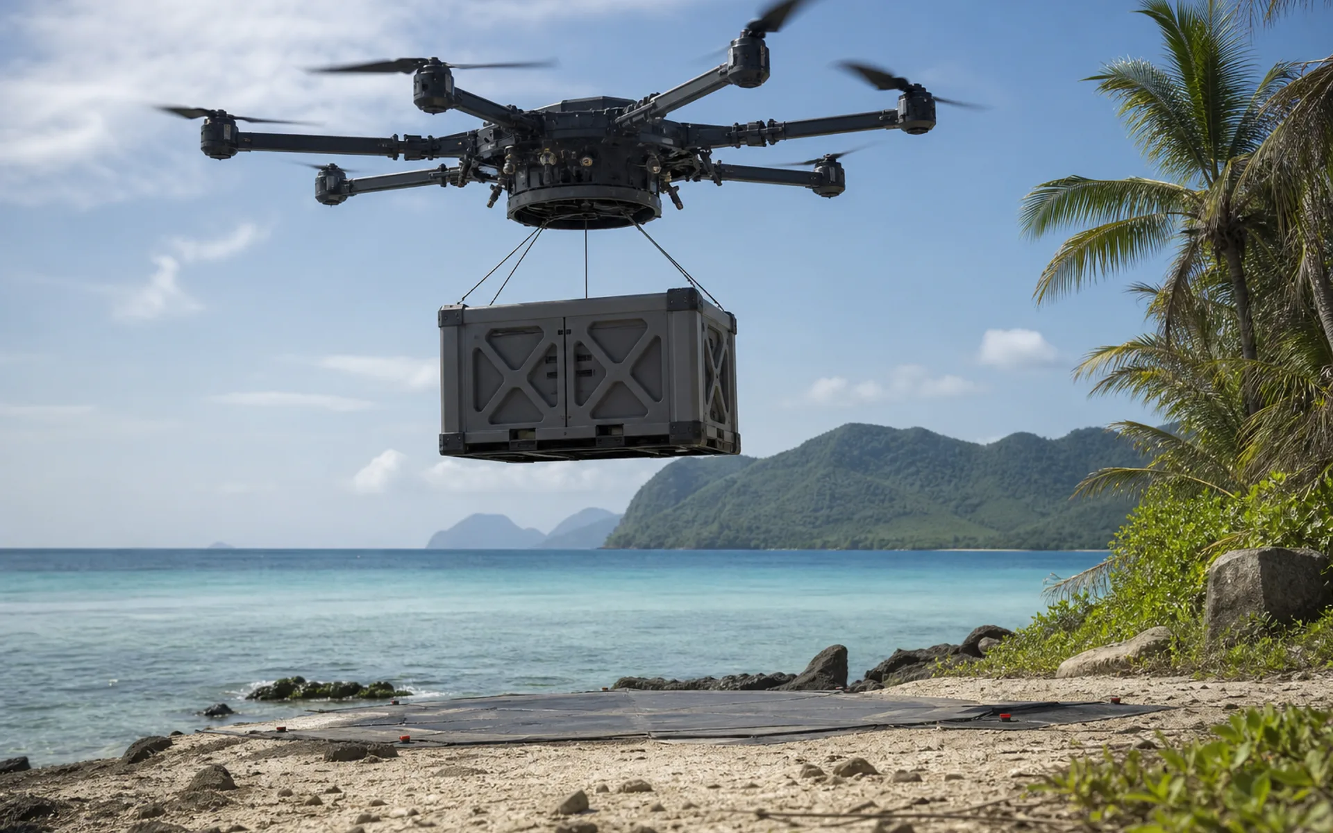
Island supplies
Aerial supply of medical and spare parts to offshore islands and modular cargo cabin transportation to avoid shipping cycle restrictions.
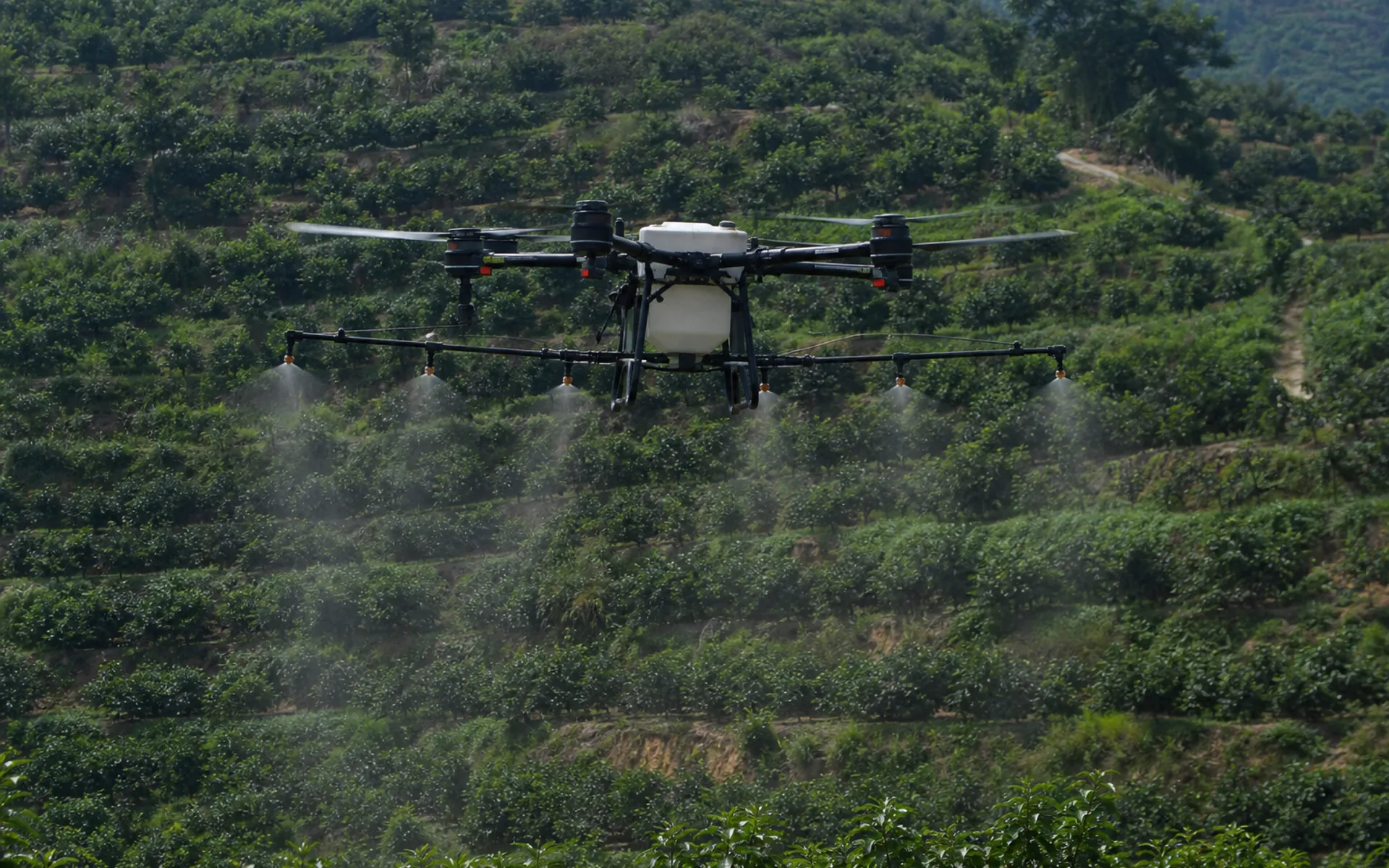
Precision work in hilly orchards
Multi-spectral field patrol and variable spraying in hilly orchards, RTK repeated routes, significantly improved the utilization rate of chemical liquid.
Assess emergency transportation feasibility
The terrain, distance and load requirements are provided, and the engineering team will conduct route and risk assessments.
Discuss similar tasks