
Agriculture · Orchard
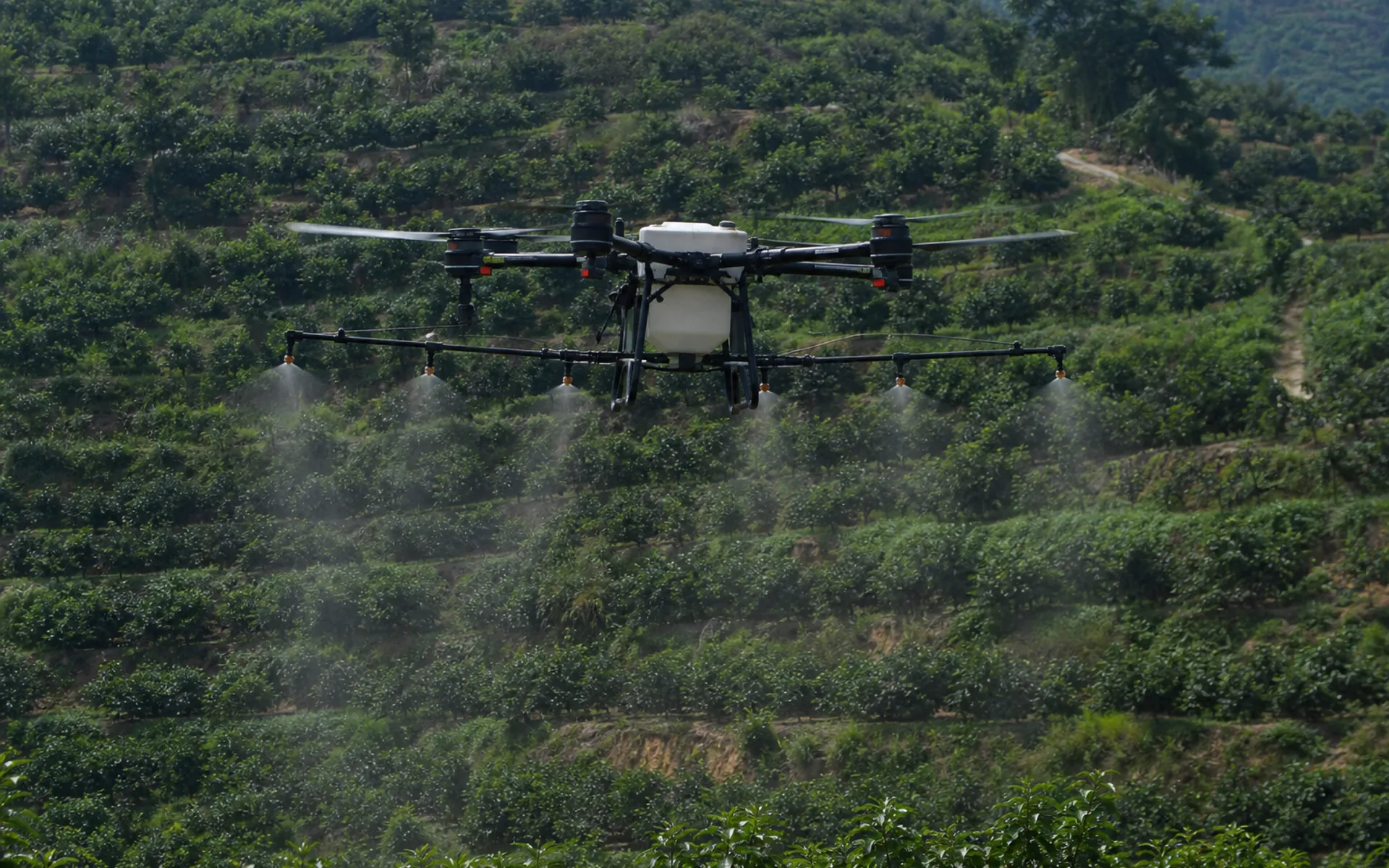
Precision work in hilly orchards
Multi-spectral identification of pest and disease zones, variable spraying according to the prescription map, suitable for terraces and fruit tree canopies.
- South China · Hilly Orchards
- 2026
- agriculture
-
35%
Saving liquid medicine (occupying space)
-
120
Number of acres of orchard
-
2 days
Field patrol + operation cycle
mission challenge
Rugged terrain · Extensive medication use
The terrain of hilly orchards is undulating, and the labor intensity of artificial backpack spraying is high, resulting in serious waste of pesticides under unified control.
Customers need sub-meter route repeatability to support periodic re-spraying and effect comparison at the same canopy position.
solution
DX-X4 + multispectral + variable spray
The compact body of DX-X4 is suitable for row spacing in orchards. It first conducts multi-spectral field patrols to generate pest and disease zoning and prescription maps.
Switch the spraying module to operate according to variable flow rate, RTK ensures route repeatability, and go-around after operation to evaluate the efficacy.
Task parameters
Precision work in hilly orchards · 任务参数
- Use the platform
- DX-X4 quadcopter
- Load configuration
- Multispectral + variable spray
- Route accuracy
- RTK sub-meter repeatability
- Lot size
- about 120 acres
- Operation mode
- variable prescription spray
- delivery format
- NDVI chart + work record
More cases
Explore other application scenarios
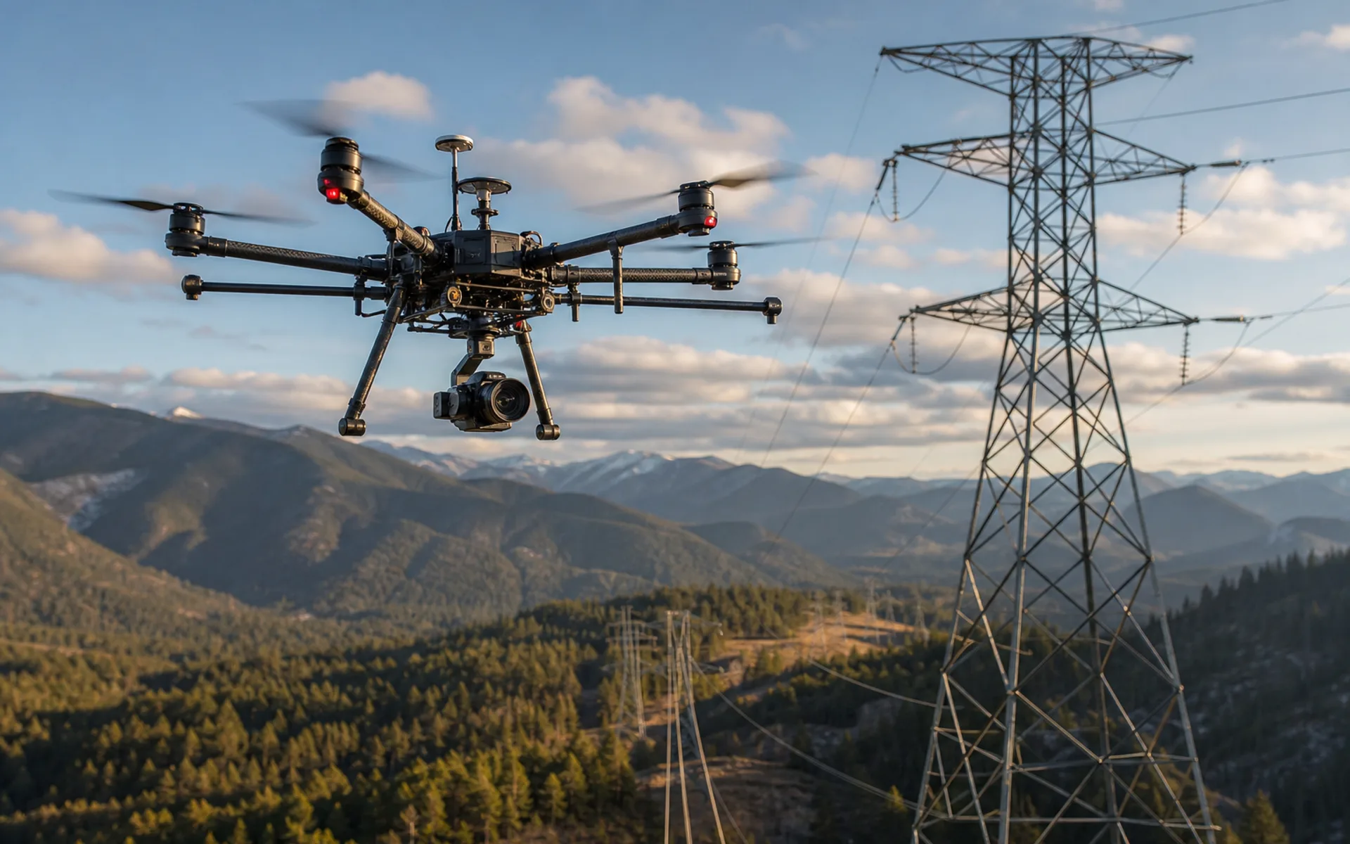
Power line inspection
Autonomous inspection of 120 kV transmission corridors in mountainous areas, equipped with visible light and infrared dual loads, covering 18 kilometers of line at a time.
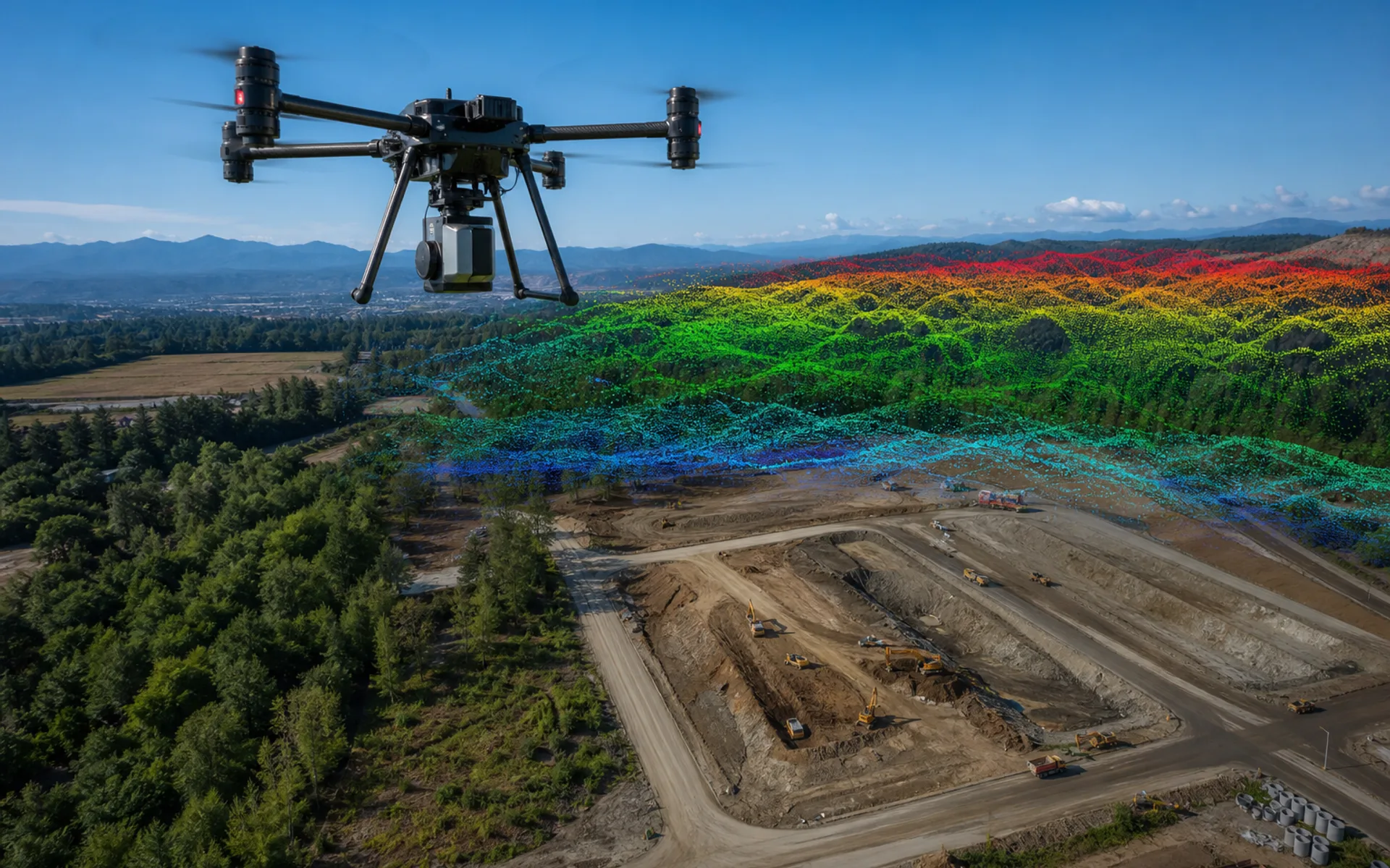
Large area surveying and mapping modeling
Aerial surveying and mapping of 800 hectares of construction mining area, five-lens tilt camera + ground control points, output 5 cm level orthophoto and DSM.
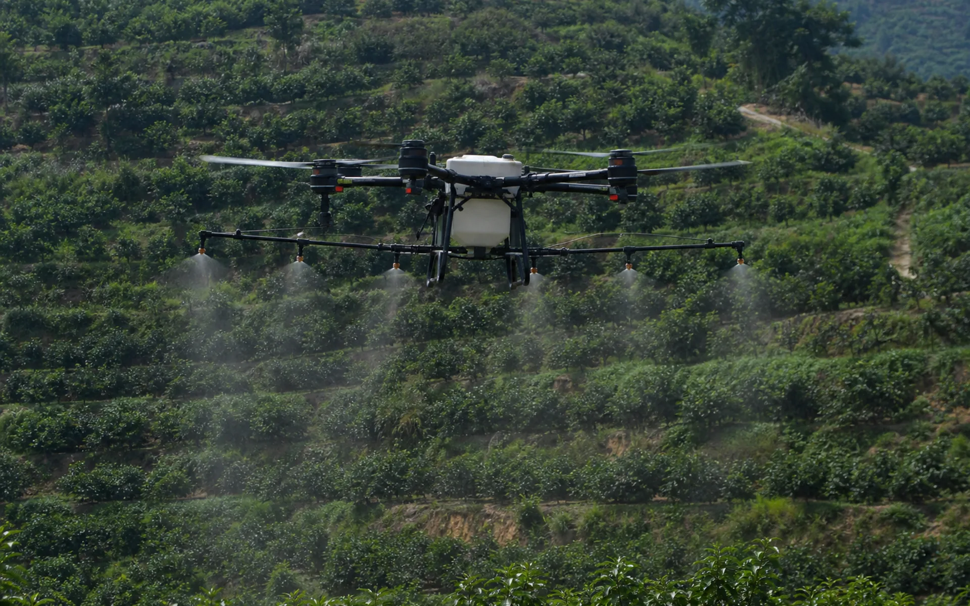
Agricultural plant protection operations
1,200 acres in the main rice-producing area are under unified control and spraying is carried out on independent routes. The utilization rate of pesticides is increased and labor costs are reduced.
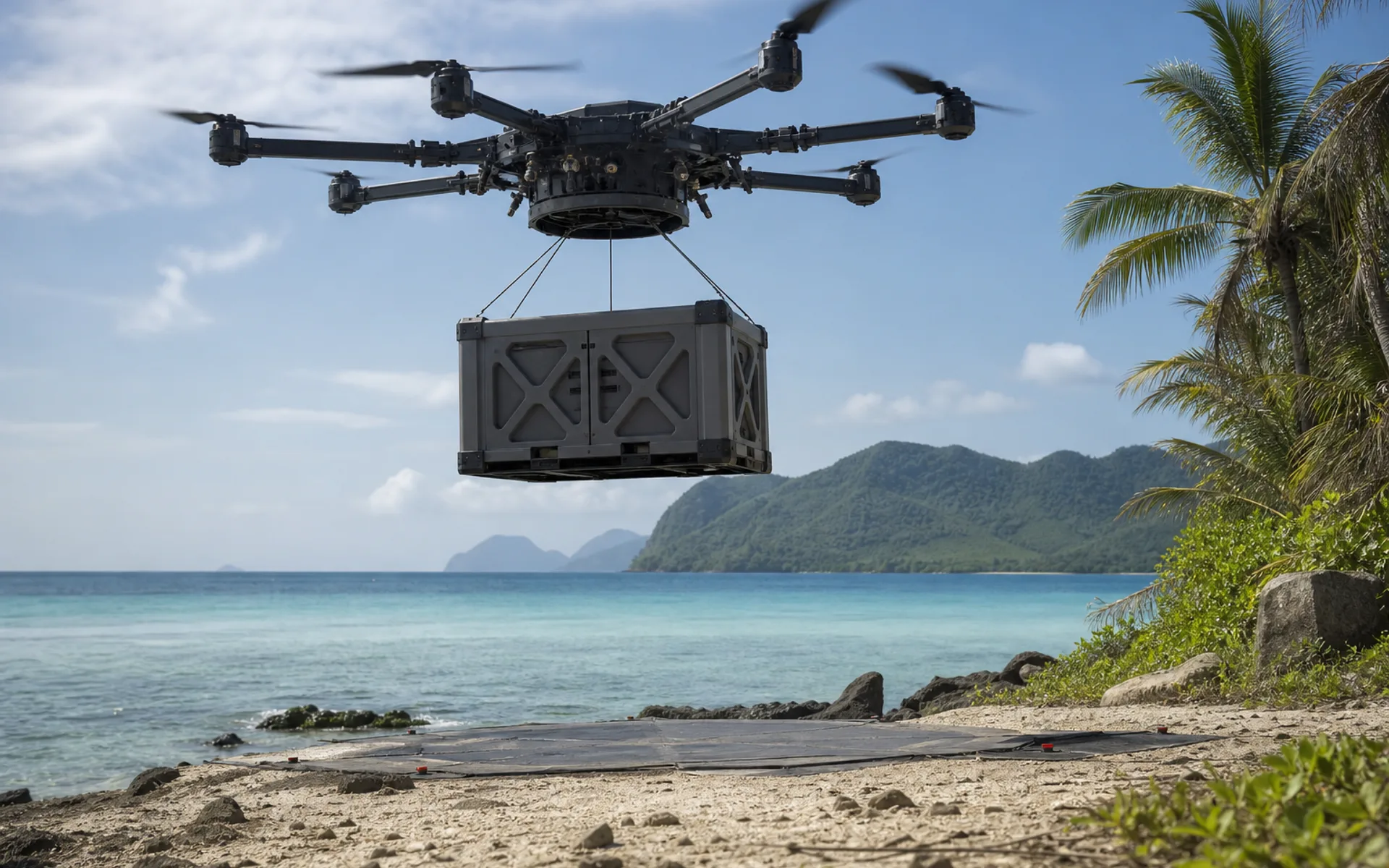
emergency supplies transportation
After the disaster, roads were interrupted, and heavy-duty drones delivered 15 kg of daily necessities and medical supplies to isolated island villages.
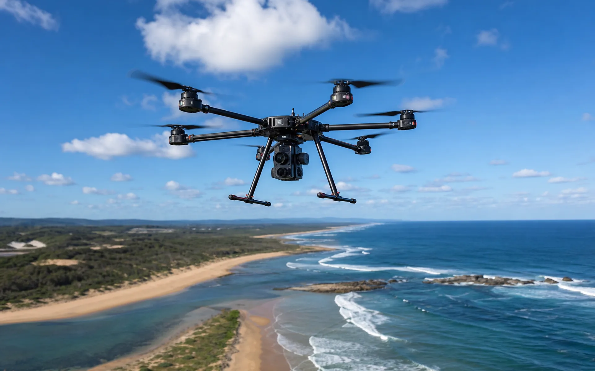
Coastal environment monitoring
Monitoring of estuary water and shoreline changes, multispectral + visible light joint collection, generating thematic maps of water quality and vegetation index.
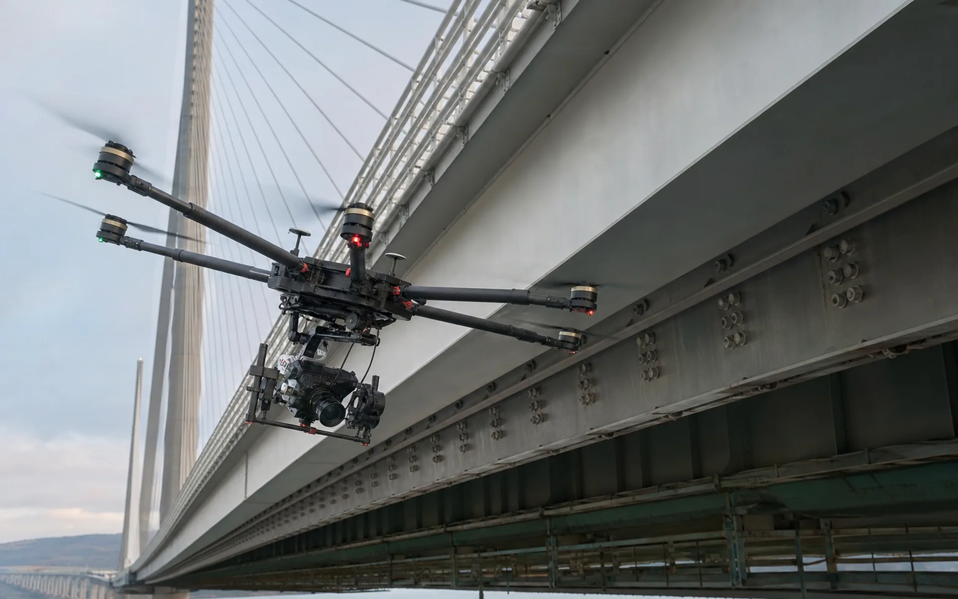
Infrastructure testing
Appearance inspection of the bottom surface and cable towers of cross-river bridges, close-range hover photography, and AI-assisted crack identification and archiving.
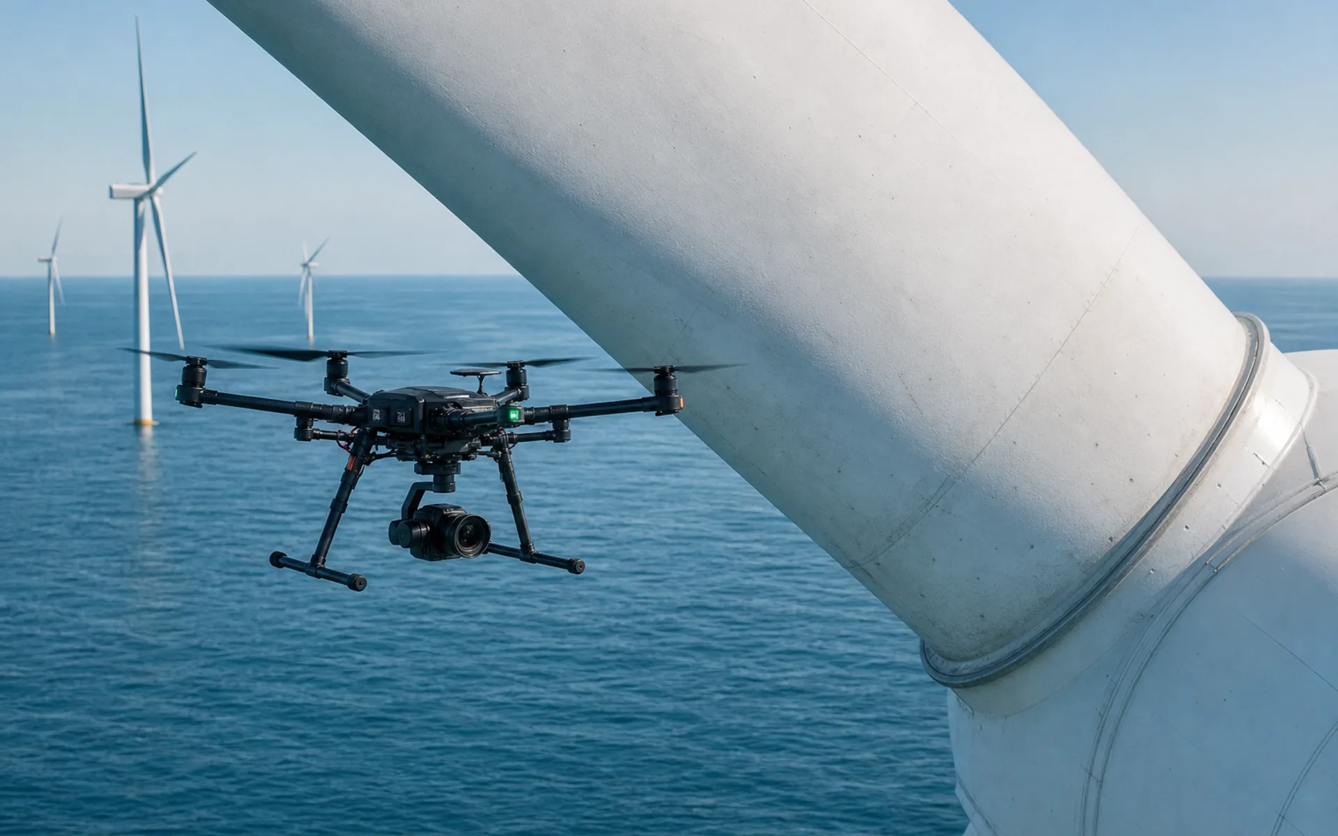
Wind turbine blade inspection
Inspection of offshore wind farm blade appearance and lightning damage, close-range hovering photography, covering 24 units at a time.
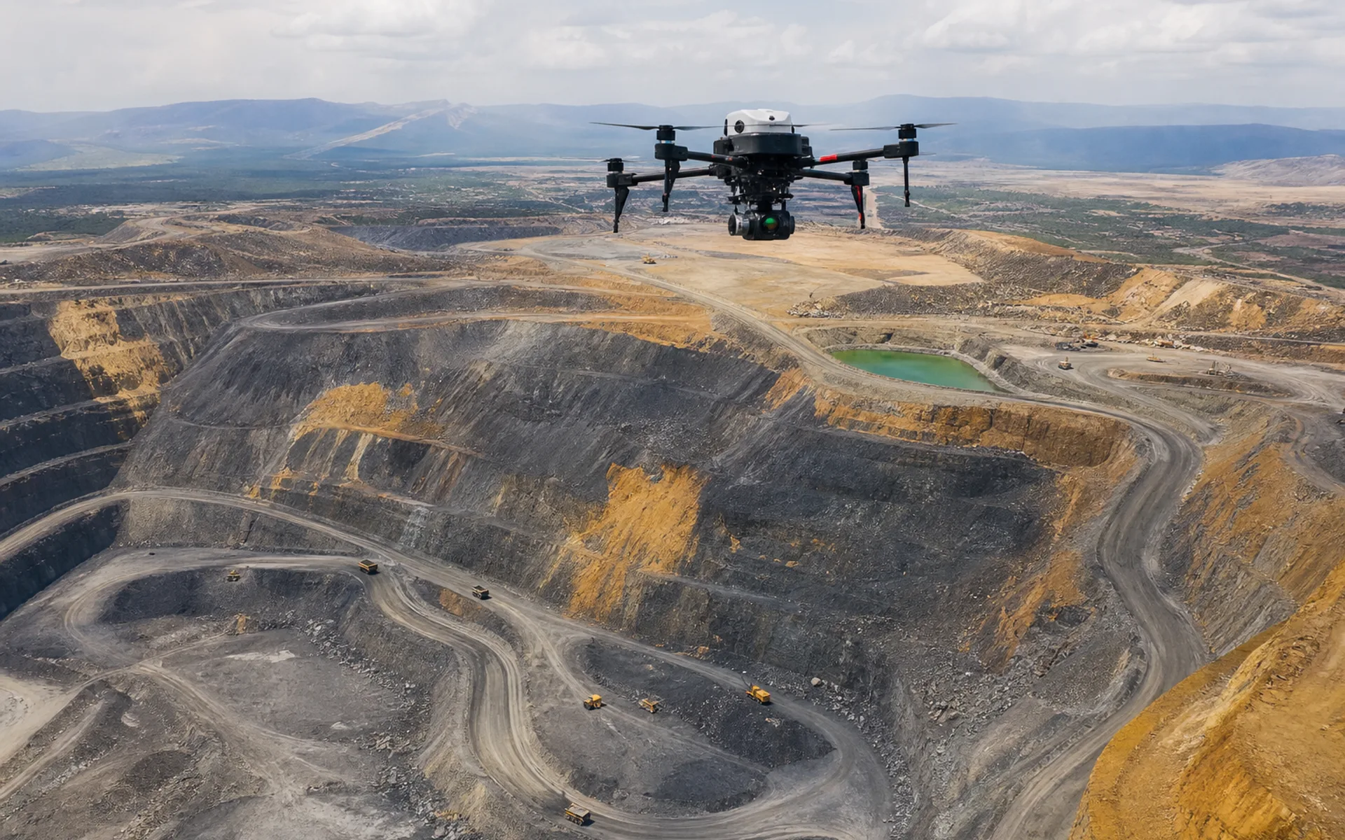
Mine reserves surveying and mapping
Periodic volume measurement of open-pit mines and LiDAR point cloud comparative analysis support reserve audits and mining plans.
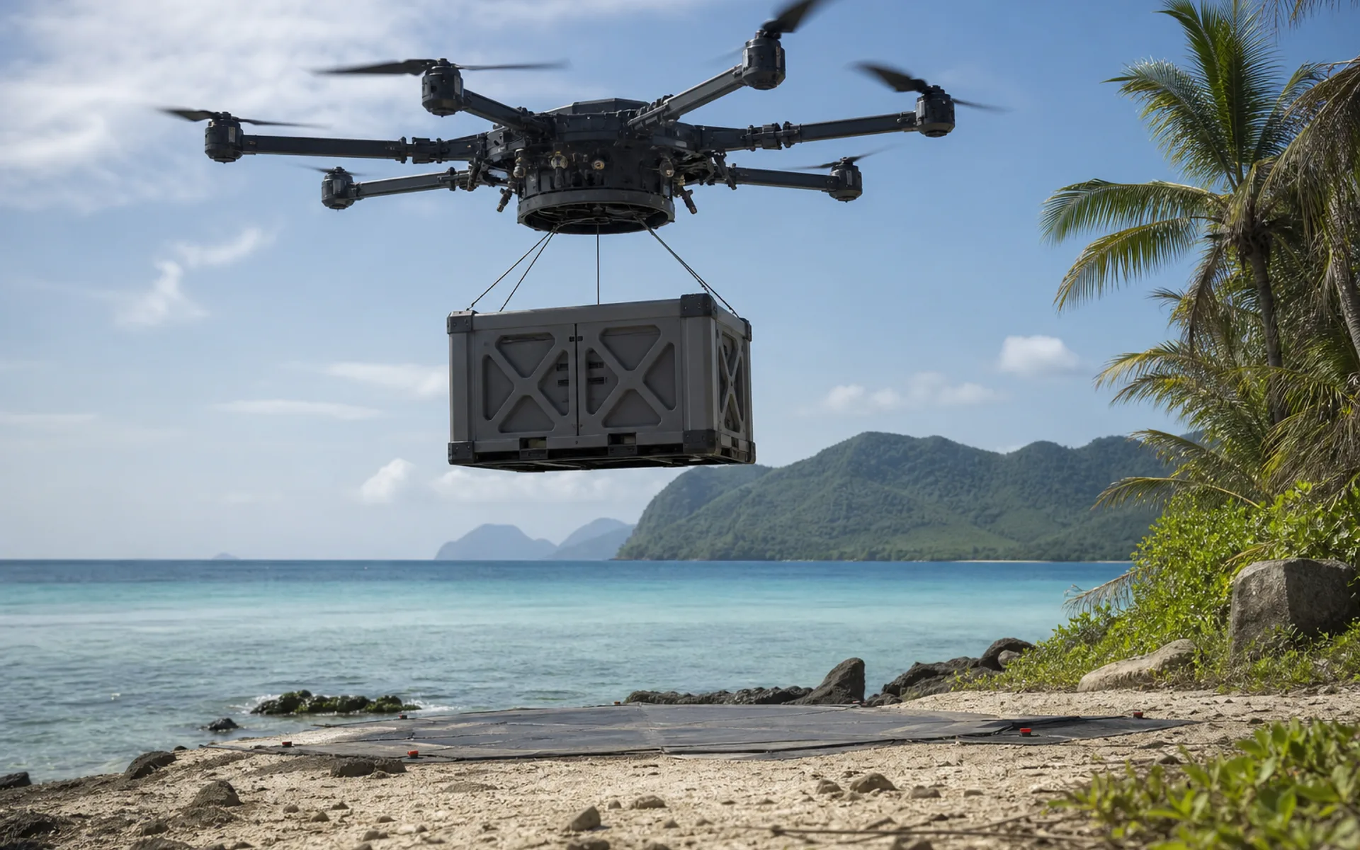
Island supplies
Aerial supply of medical and spare parts to offshore islands and modular cargo cabin transportation to avoid shipping cycle restrictions.
Upgrading drone operations in orchards
Provide fruit tree type and site conditions and we will recommend spray and sensing configurations.
Discuss similar tasks